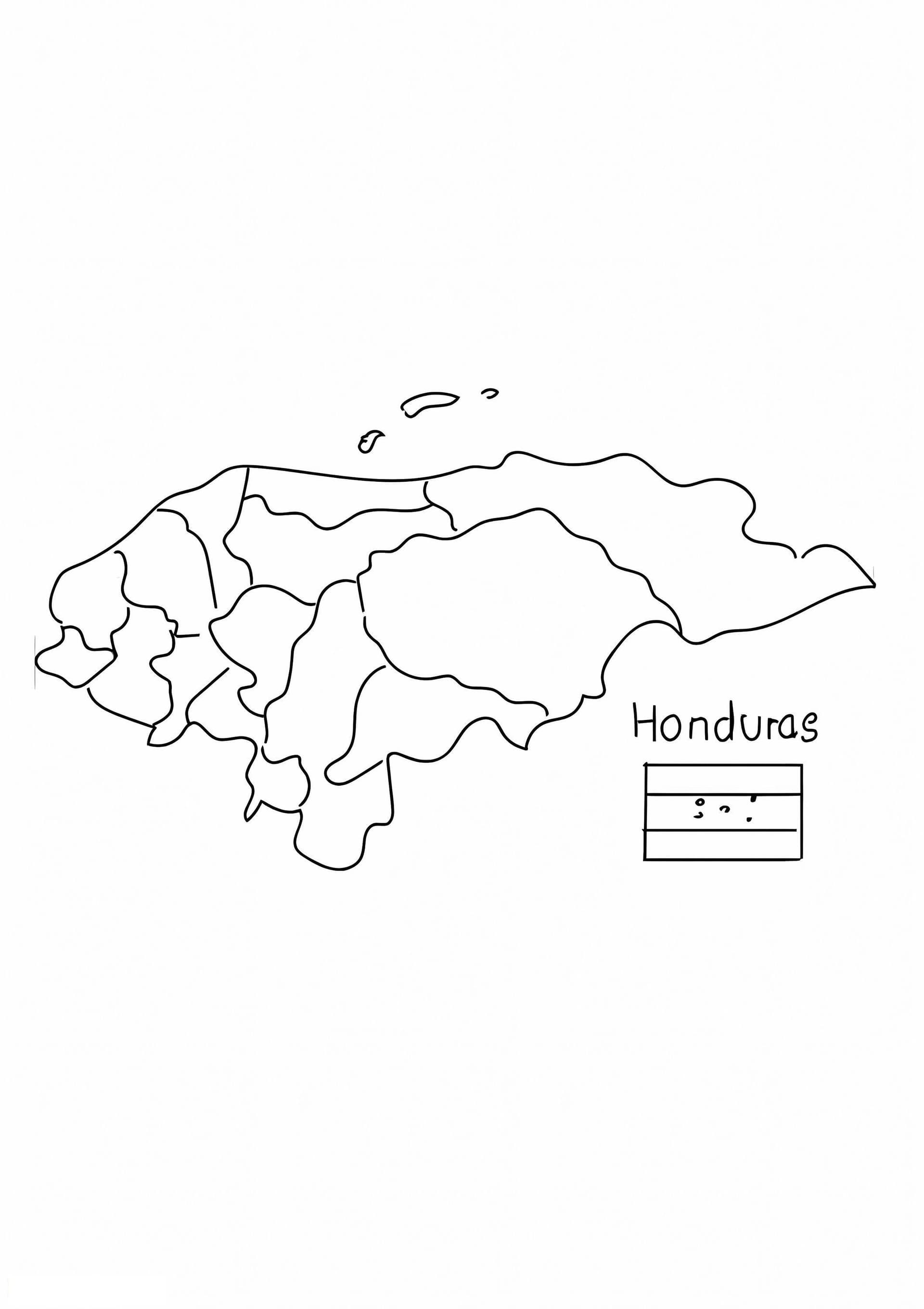
Discover Honduras with this Educational Coloring Sheet
Embark on a geographical journey through Central America with our Honduras Map coloring page. This high-quality, printable outline is perfect for students, teachers, and geography enthusiasts looking to visualize the boundaries of this beautiful country. The design features a clear, bold silhouette of Honduras, making it easy to identify its borders with Guatemala, El Salvador, and Nicaragua, as well as its long Caribbean coastline and Pacific access.
This free printable PDF is optimized for A4 paper, ensuring a sharp and clean start for your educational activity. It serves as an excellent resource for classroom projects, homeschooling lessons, or social studies homework. Children can learn identifying locations while engaging their creativity.
How to Color Your Map
- Educational Labeling: Use fine-tip black markers to write down the names of the departments (like Francisco Morazán or Cortés) and the capital city, Tegucigalpa, before coloring.
- Topography: Use green shades to represent the mountainous interior and lush rainforests, and switch to blues for the Caribbean Sea to the north.
- Flag Colors: Incorporate the national colors by shading the background or border in blue and white, reflecting the Honduran flag.