Explore the Land of the Rising Sun
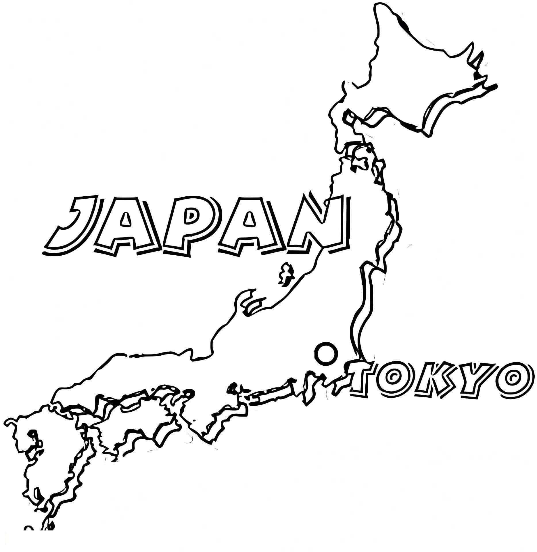
Immerse yourself in East Asian geography with this detailed Japan map coloring page. This educational illustration features a clear outline of the Japanese archipelago, showcasing the distinct shapes of the four main islands: Hokkaido, Honshu, Shikoku, and Kyushu. It is a fantastic resource for teachers, homeschooling parents, and students who want to combine art with learning about world geography.
A High-Quality Educational Resource
Designed as a high-quality printable PDF, this image fits perfectly on standard A4 paper. The clean, bold lines make it easy for children to stay within the borders while coloring. This map is versatile; older students can use it to label major cities like Tokyo and Osaka, or identify surrounding bodies of water, while younger kids can simply enjoy coloring the unique shapes of the country.
Recommended Tools for Map Coloring
- Colored Pencils: Ideal for shading different regions or prefectures in distinct colors without bleeding through the paper.
- Fine-Liners: Perfect for tracing the intricate coastlines and adding labels to the map.
- Crayons: Great for younger children (preschoolers) to fill in the land and ocean areas quickly.
Click to get your free download today and start your journey across Japan right from your desk!