Explore South American Geography with a Peru Map Coloring Page
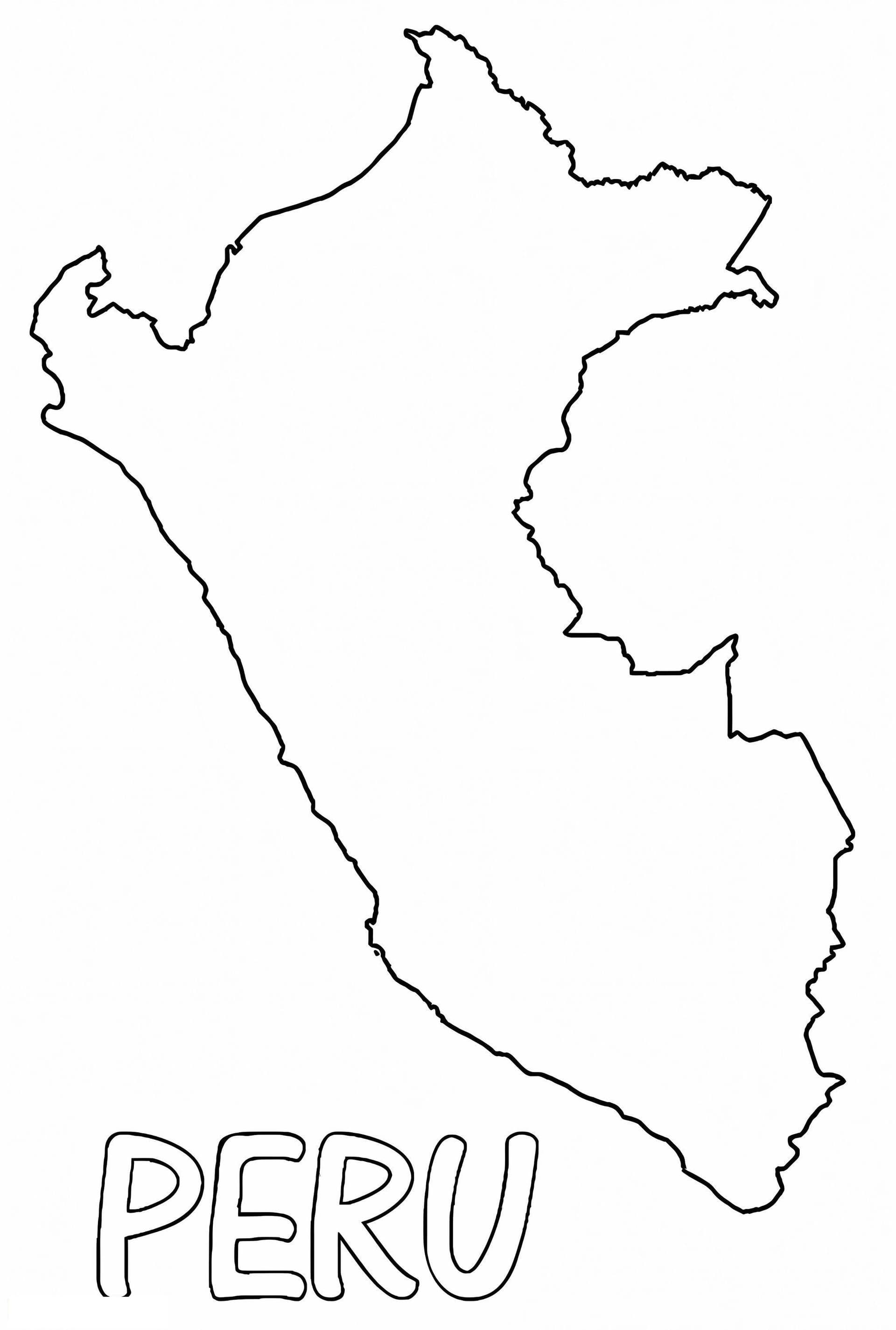
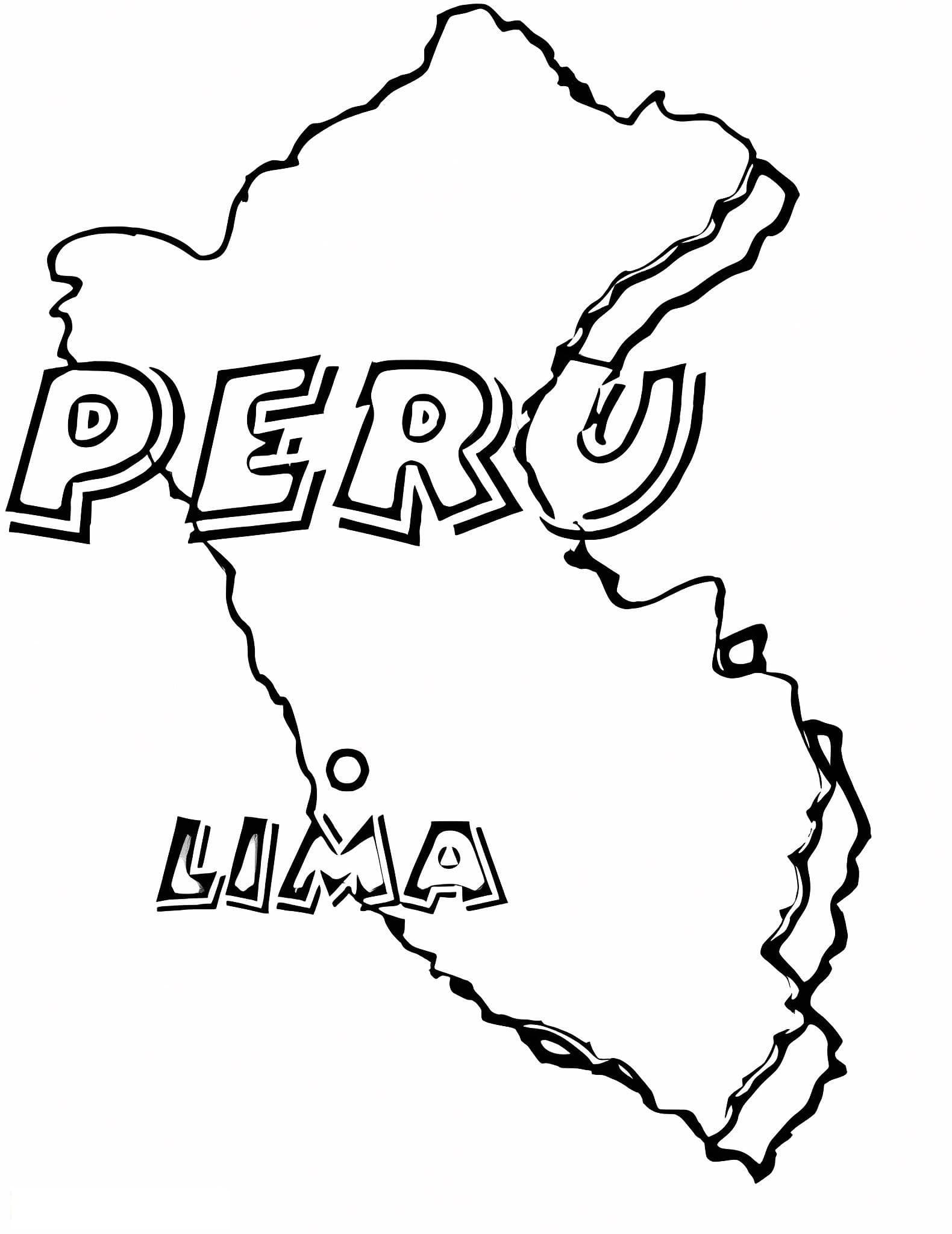
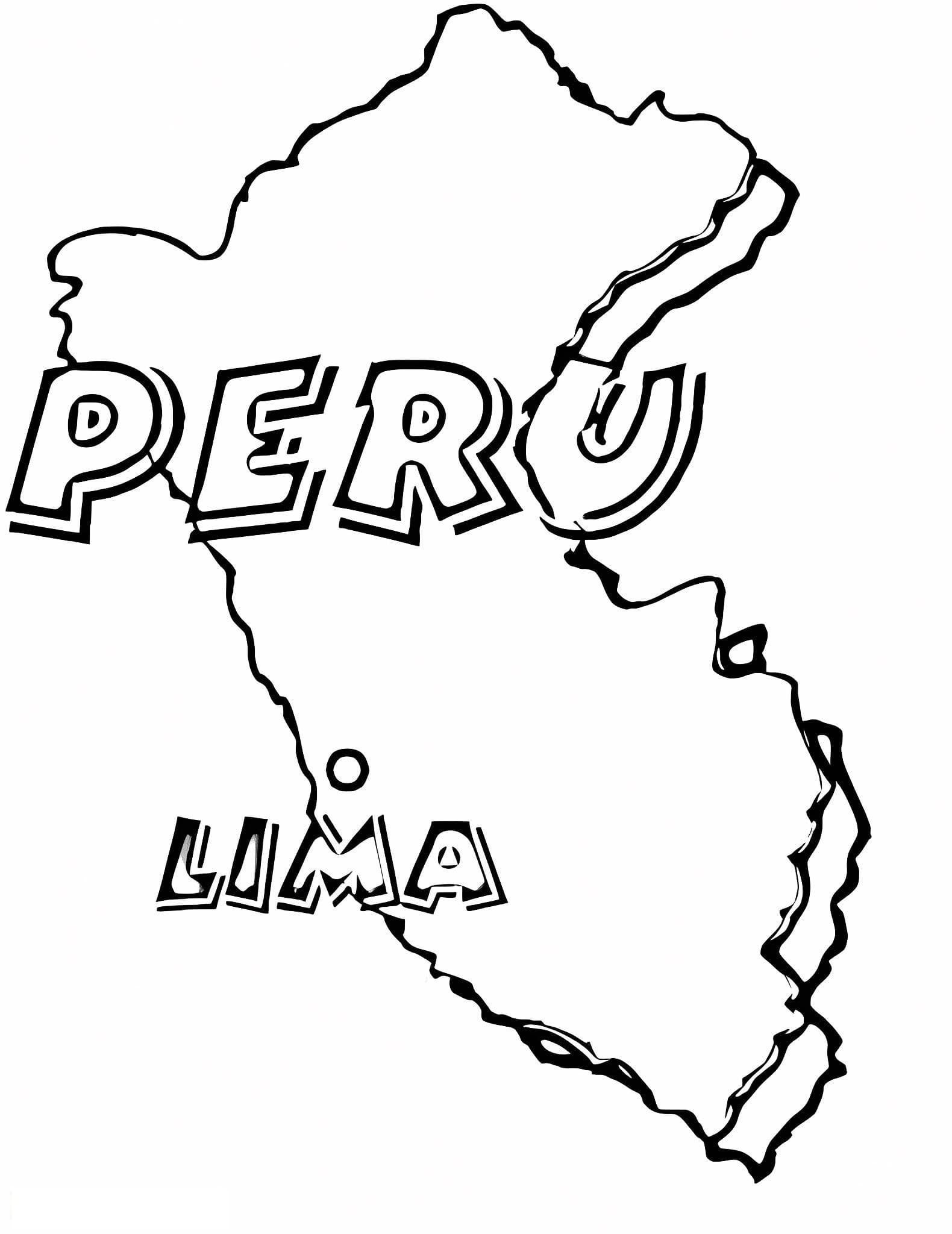
Enhance your geography lessons with this detailed printable Peru map coloring page. Designed for students, teachers, and homeschooling parents, this clean outline offers a fantastic way to learn about the unique shape and borders of Peru without the distraction of pre-filled labels.
This high-quality A4 PDF download is distinct and easy to print, making it ideal for classroom activities. Children and teens can use this outline to:
- Practice labeling distinct features such as the capital city, Lima.
- Draw the Andes Mountains or the Amazon River.
- Color-code different regions or neighboring countries.
We recommend using colored pencils for precise shading of the mountainous regions or fine-tip markers to boldly trace the national borders. Download this free geography resource today and start exploring!