Explore South America with This Peru Map Outline
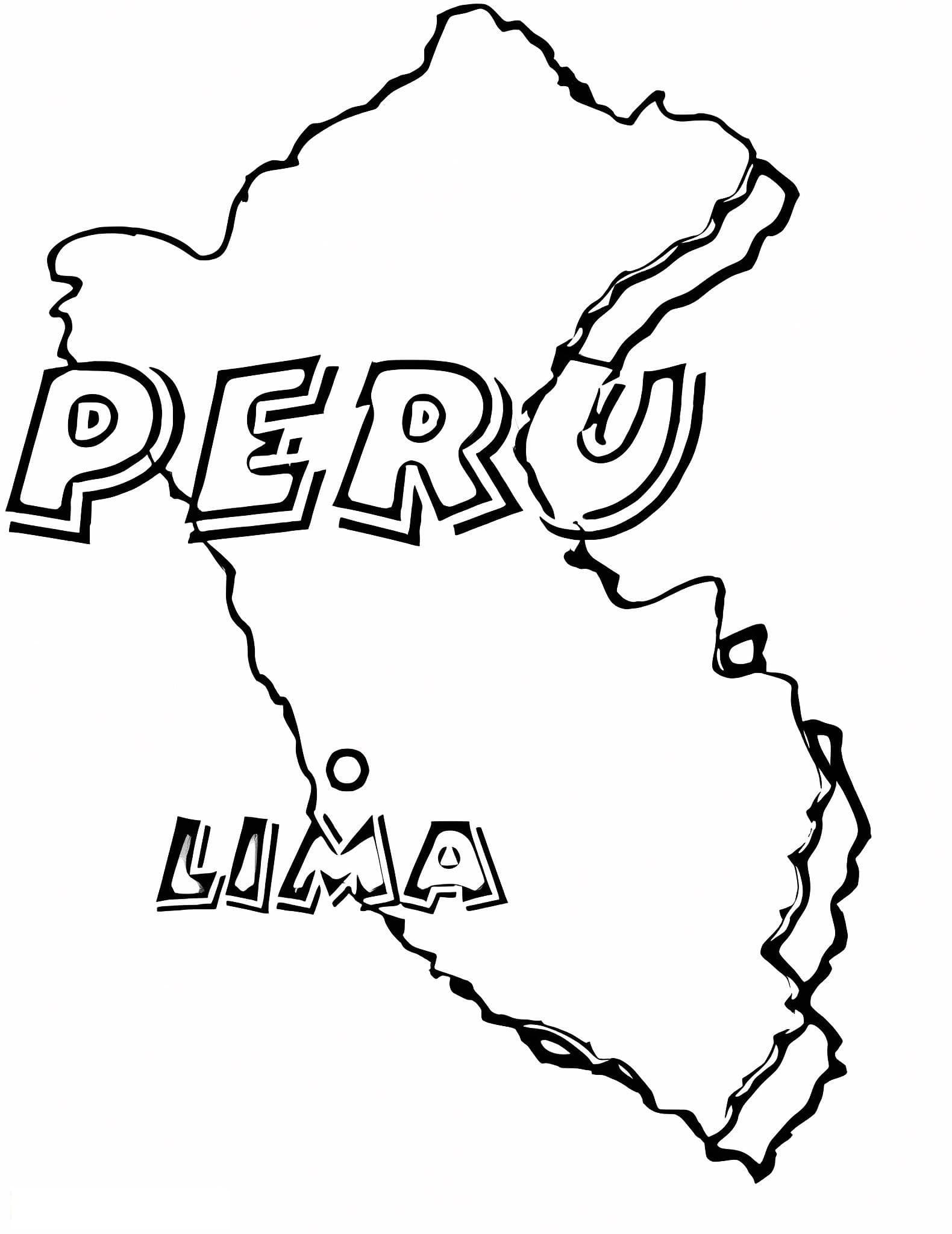
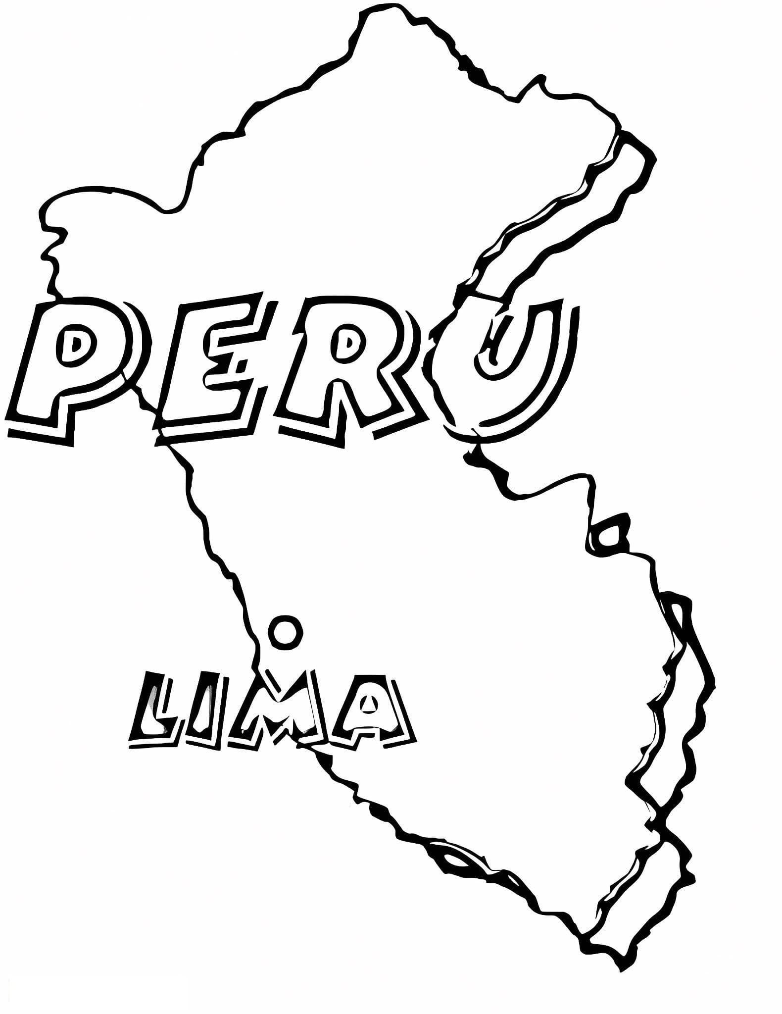
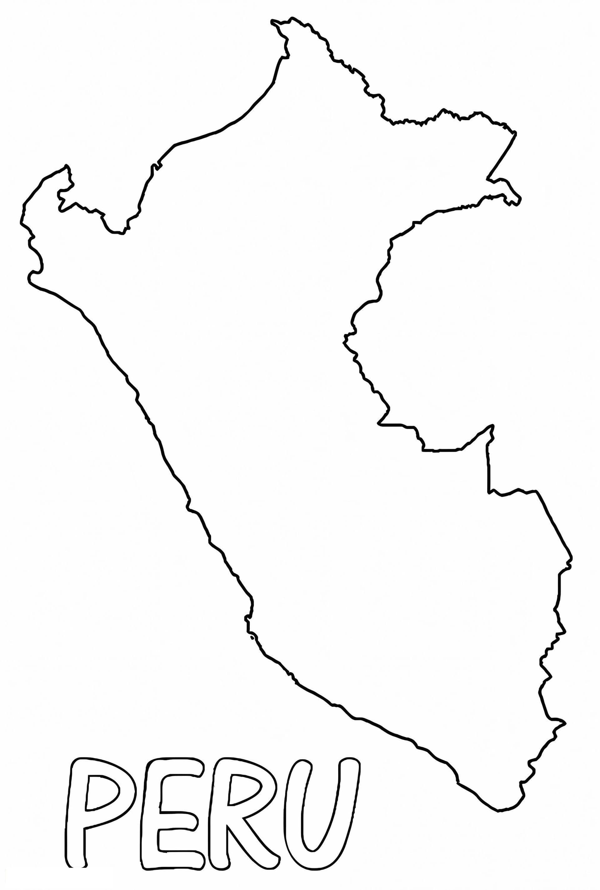
Embark on an educational journey to South America with our free printable Peru map outline coloring page. This clean, blank map provides an accurate silhouette of Peru's borders, making it an excellent resource for students, teachers, and geography enthusiasts alike. Whether you are studying the countries of the Andes or looking for a creative geography activity, this sheet is designed for you.
This high-quality coloring sheet is perfect for various educational levels, from preschoolers learning shapes to teenagers labeling complex geographical features. It serves as a fantastic base for:
- Geography Lessons: Label major cities like Lima, Cusco, and Arequipa, or neighboring countries like Brazil and Chile.
- Physical Geography: Draw and color the three main regions: the coast (La Costa), the highlands (La Sierra), and the jungle (La Selva).
- Cultural Art: Fill the map with illustrations of llamas, alpacas, or Incan patterns to combine art with social studies.
Optimized for standard A4 PDF printing, this outline features crisp, black lines that work well with colored pencils, fine-tip markers, or crayons. Download this printable coloring page today and bring the map of Peru to life with color.