Explore Geography with this India Blank Outline Map
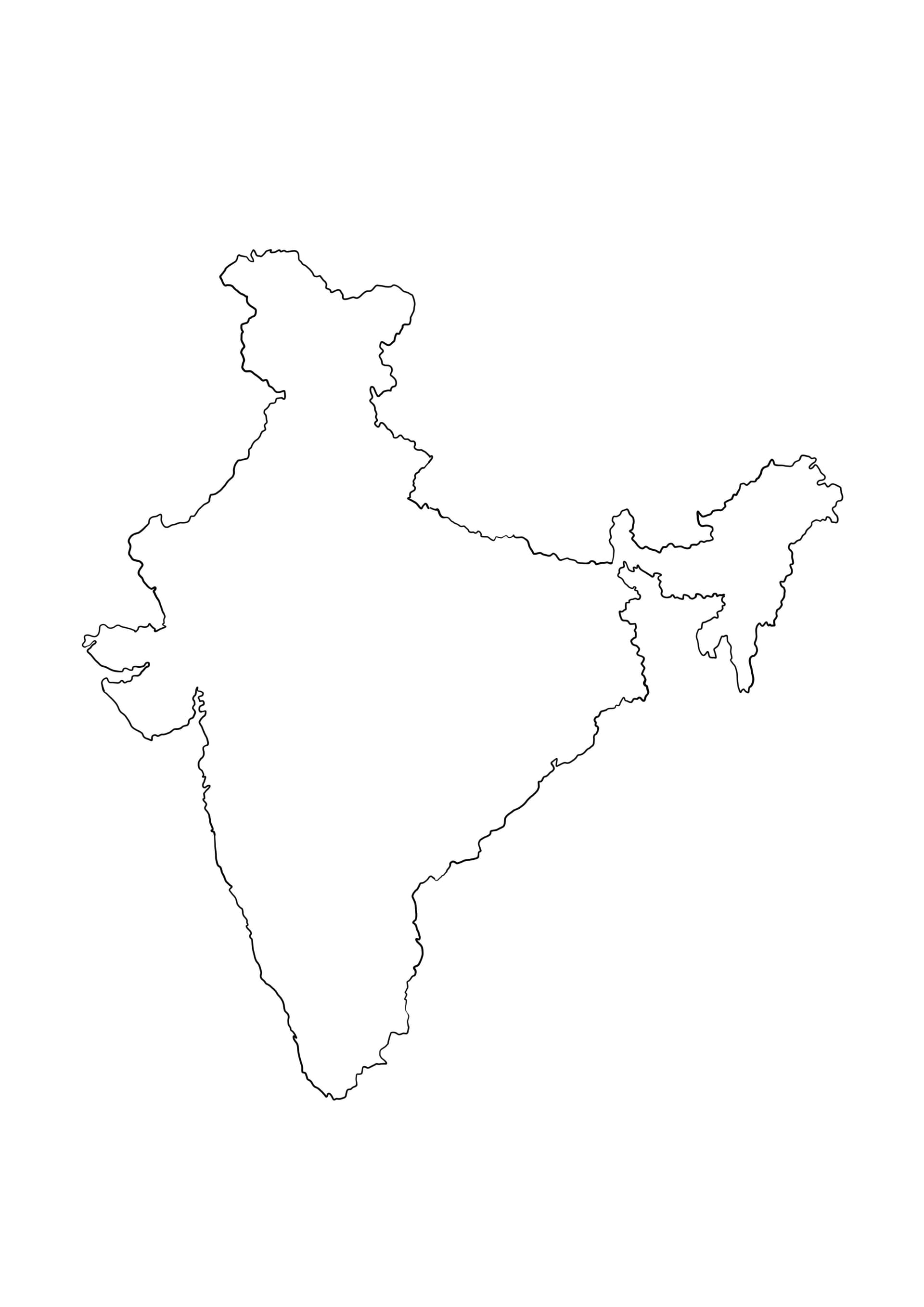
Discover the unique shape of the Indian subcontinent with our high-quality India blank outline map coloring page. This educational printable is perfect for students, teachers, and homeschooling parents looking for accurate geography resources. The illustration features a clear, bold outline of India's borders, making it easy for children to color within the lines or label specific regions.
Ideal for School Projects and Learning
- Geography Lessons: Use this map to help students practice identifying states, union territories, and major cities.
- National Holidays: A perfect activity sheet for Independence Day (15th August) or Republic Day (26th January) celebrations.
- Creative Coloring: Kids can use crayons, colored pencils, or markers to fill in the map with the tri-colors of the Indian flag—Saffron, White, and Green—or color-code different climatic zones.
This free download provides a crisp, high-resolution image optimized for printing on standard A4 paper. Whether used for classroom handouts or a fun educational activity at home, this blank map serves as an excellent tool for combining art with learning.