Explore the Archipelago with this Philippines Map Coloring Page
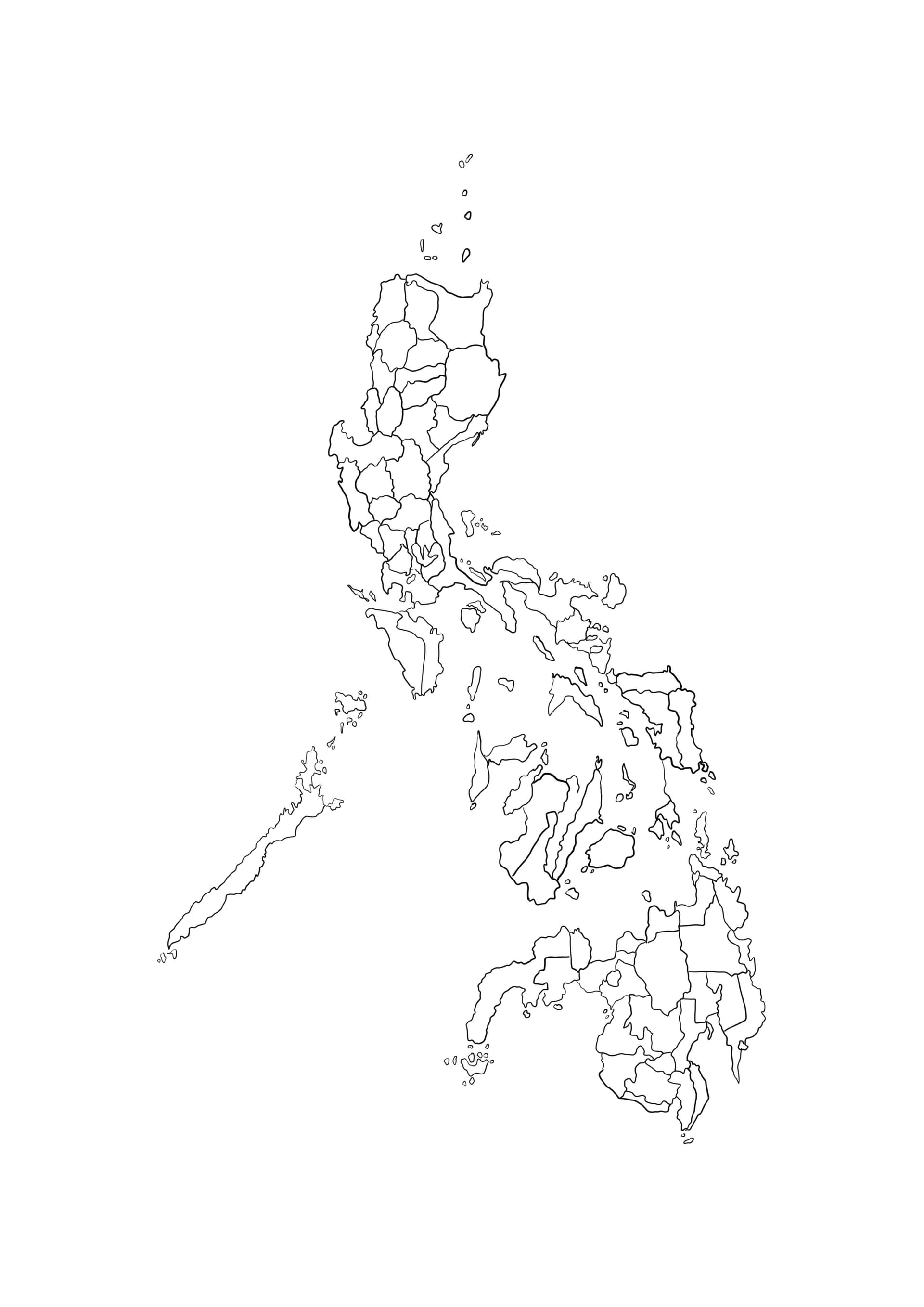
Dive into the geography of Southeast Asia with our detailed Philippines map coloring page. This printable outline accurately depicts the unique shape of the Philippine archipelago, featuring its three main island groups: Luzon, Visayas, and Mindanao. It is an excellent educational resource for students, teachers, and geography enthusiasts looking to memorize the layout of this tropical nation.
Perfect for Geography Lessons and School Projects
Designed for easy printing on A4 paper, this high-resolution illustration provides clear lines suitable for both coloring and labeling. Kids can use this free printable PDF to practice identifying specific islands or capital cities. Whether used in a classroom setting or for homeschooling, this map helps children understand borders and maritime geography while engaging in a fun creative activity.
Recommended Coloring Tools
- Fine-Tip Markers: Ideal for outlining the intricate coasts of smaller islands.
- Colored Pencils: Great for shading different regions or provinces in distinct colors to differentiate them.
- Blue Crayons: Essential for coloring the surrounding Pacific Ocean and South China Sea to make the landmass pop.
Download your free copy today and start exploring the world through art!