Explore the Continent with this Asia Map Coloring Page
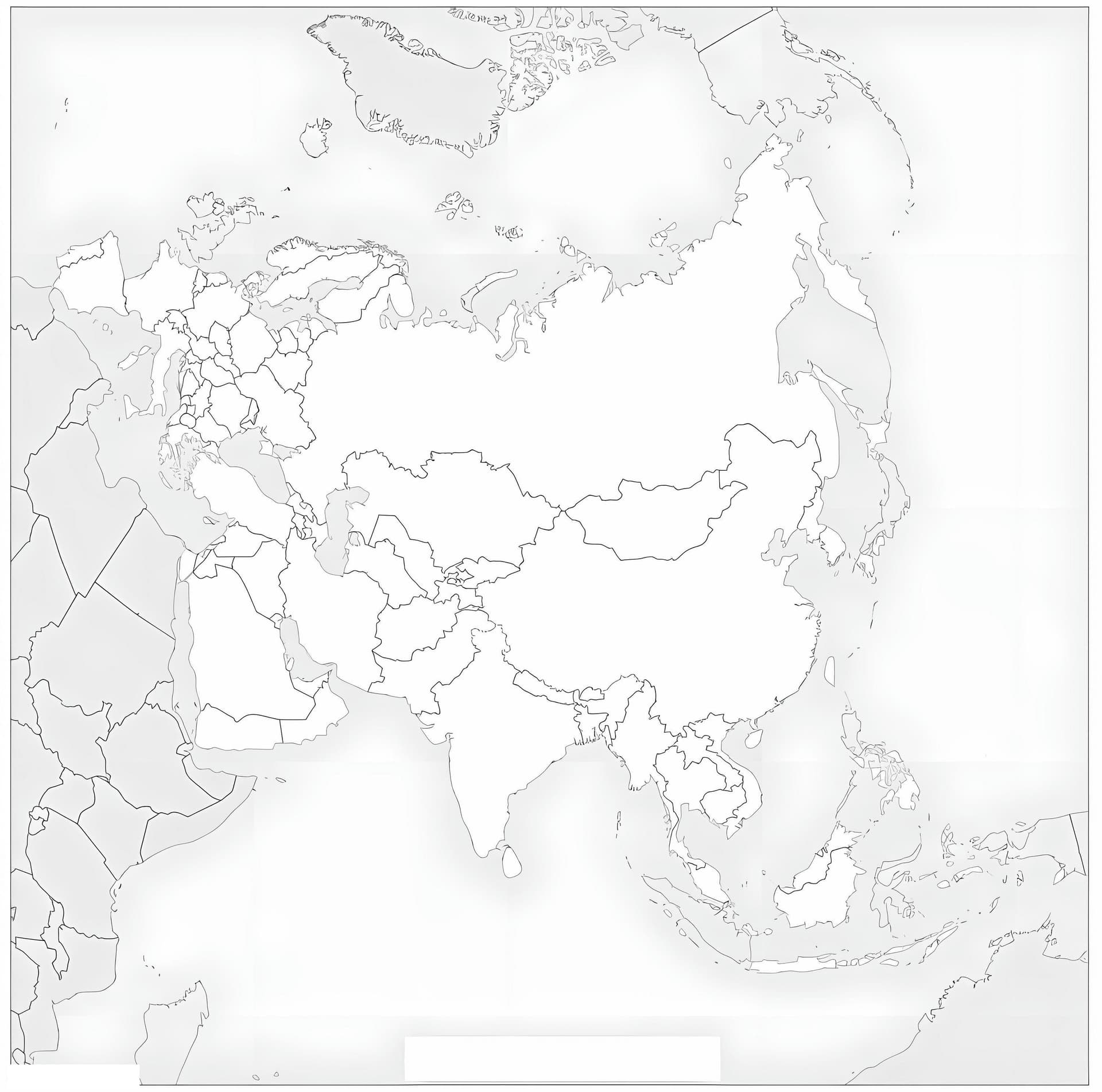
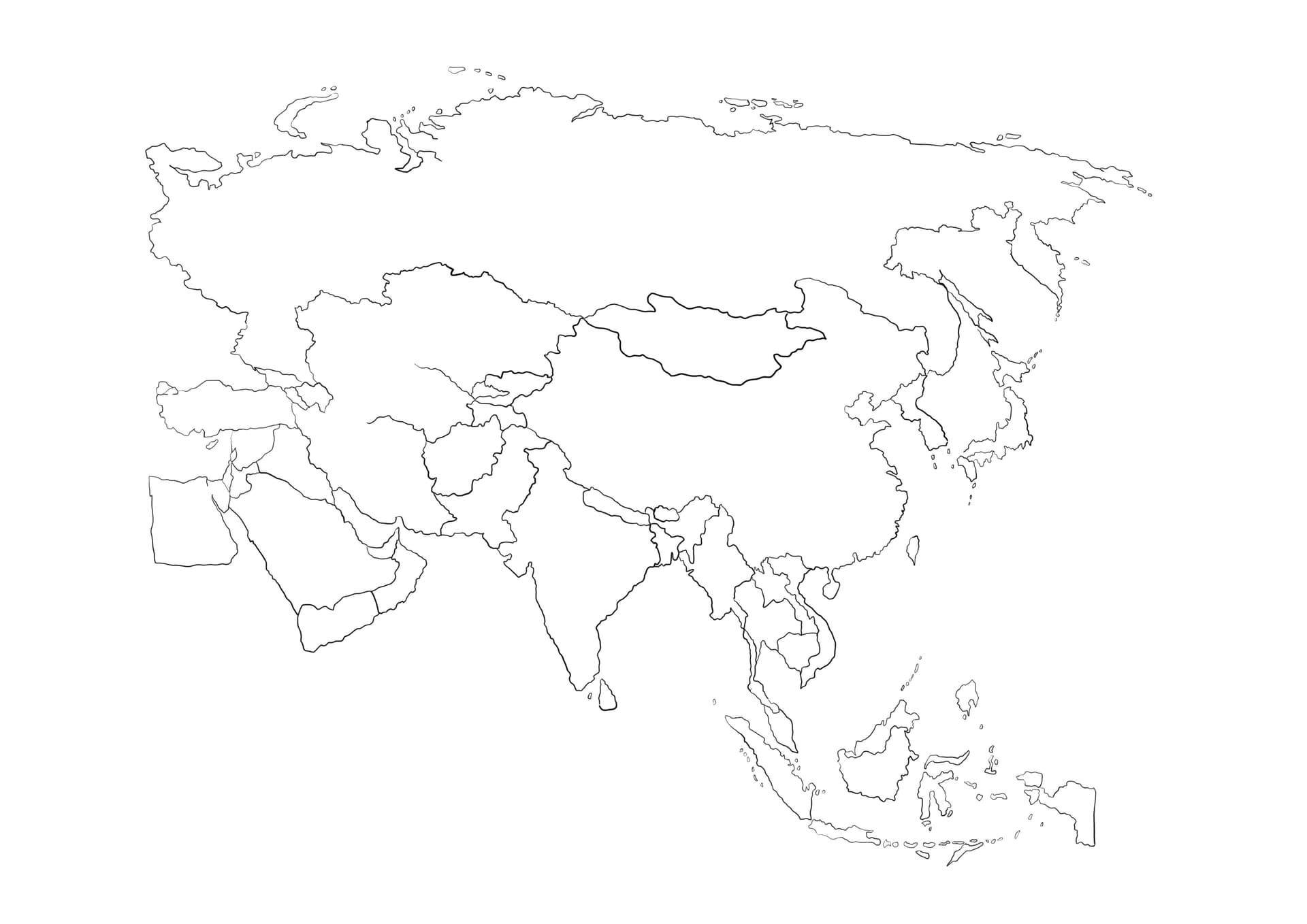
Embark on a geographical journey across the world's largest continent with our detailed Asia map coloring page. This printable illustration features a clear outline of the Asian continent, highlighting the borders of major countries such as China, India, Japan, and Russia. It is designed to be a perfect educational tool for students, teachers, and homeschooling parents who want to combine art with geography lessons.
Perfect for Geography Lessons and Creative Learning
This free printable PDF is optimized for A4 paper, ensuring a sharp and clean print every time. Coloring maps is a proven method to help children and adults memorize the locations and shapes of different nations. To get the most out of this activity, we recommend using fine-tipped markers or colored pencils to stay within the lines of smaller countries.
- Educational Fun: Ask kids to use a different color for each country to distinguish borders clearly.
- Labeling Activity: The blank design allows students to practice writing the names of countries and capitals.
- Creative Freedom: Use blue watercolors for the surrounding Indian and Pacific Oceans to make the landmass stand out.
Download this high-quality coloring sheet today and start exploring the diverse cultures and landscapes of Asia right from your desk!