Explore the World's Largest Landmass
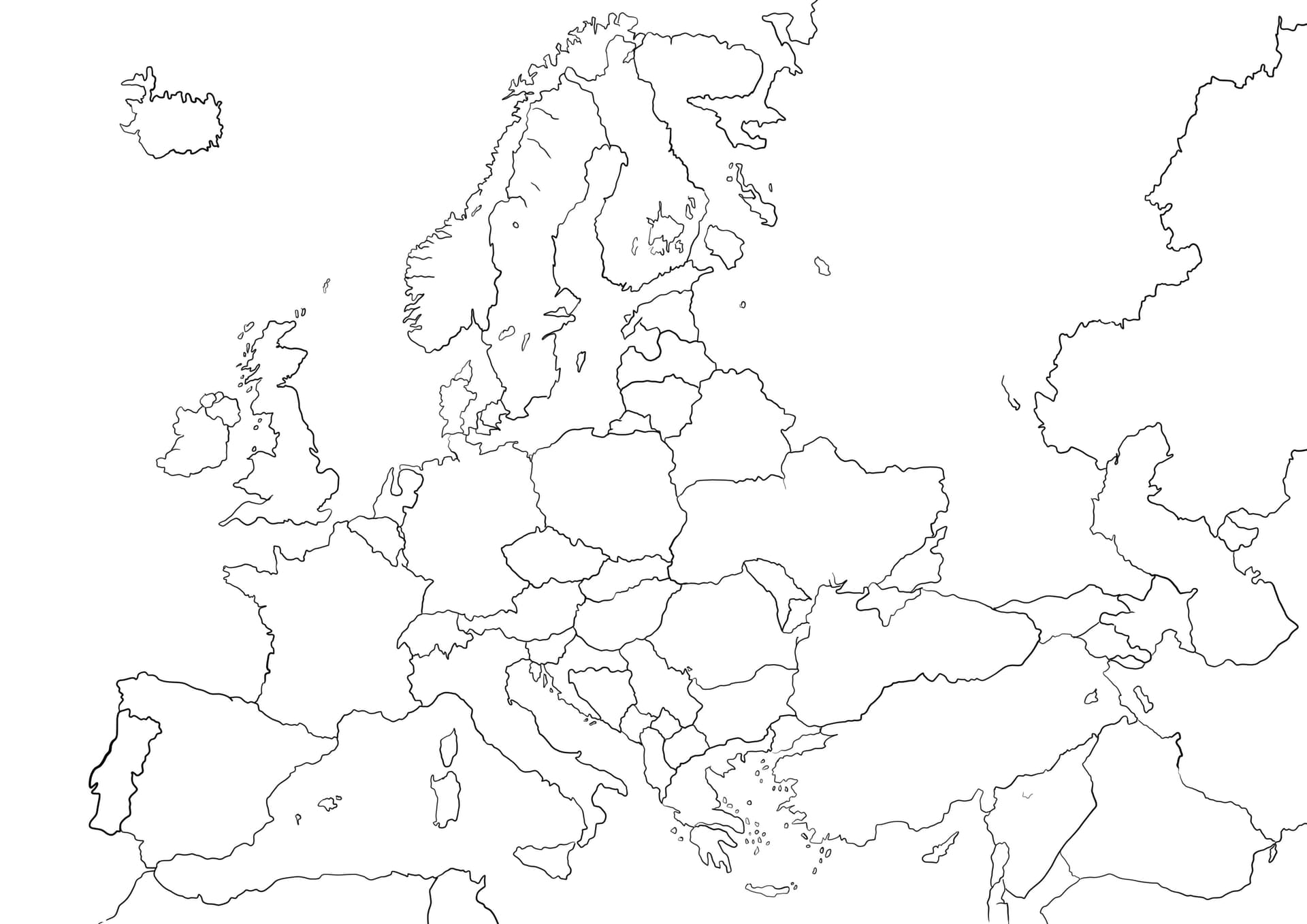
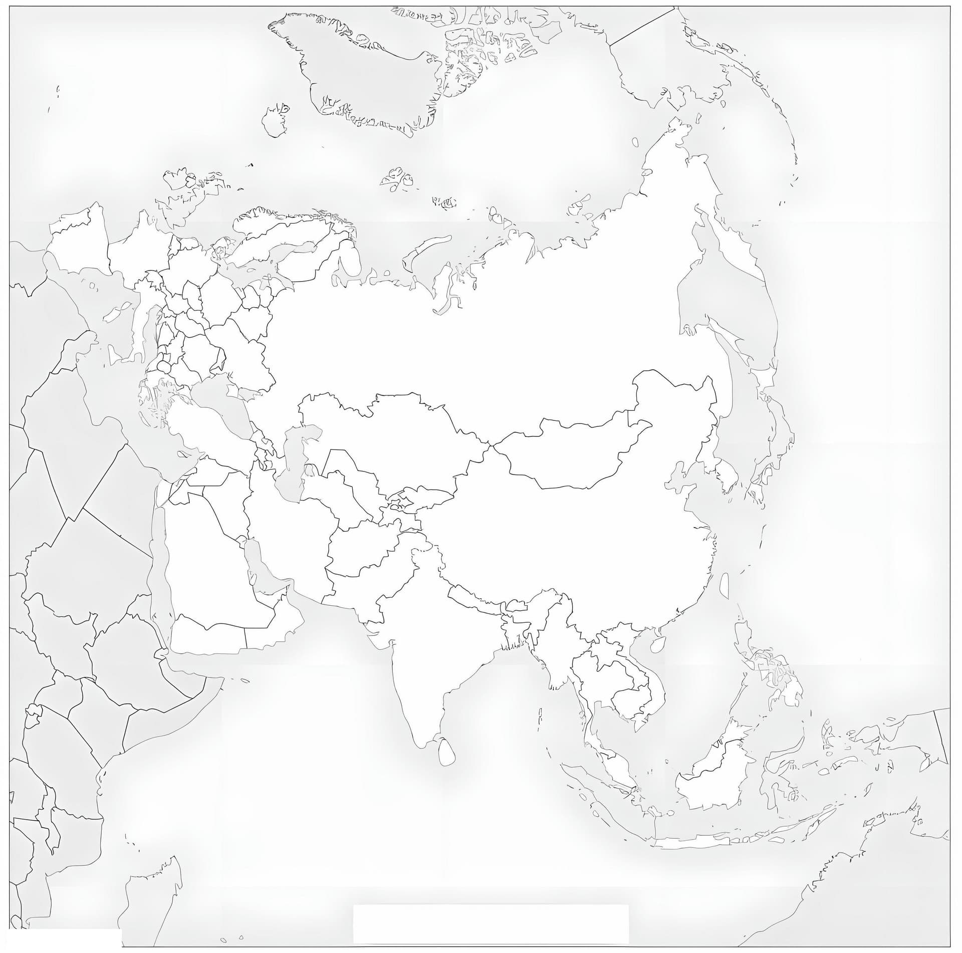
Discover the vast geography of the combined continents of Europe and Asia with our **Eurasia Map coloring page**. This educational printable features a clear, high-quality outline of the supercontinent, making it an excellent resource for students, teachers, and homeschooling parents looking to enhance their geography curriculum.
Educational Fun for All Ages
This **free download** is optimized for A4 paper, ensuring a crisp print every time. It serves as a fantastic blank canvas for detailed learning. We recommend using **colored pencils** or fine-tip **markers** to distinguish between different countries or to draw the border separating Europe from Asia. Whether you are labeling major cities, mountain ranges, or simply enjoying the lines of the world map, this PDF offers a creative way to master world geography.