Explore the Land Down Under
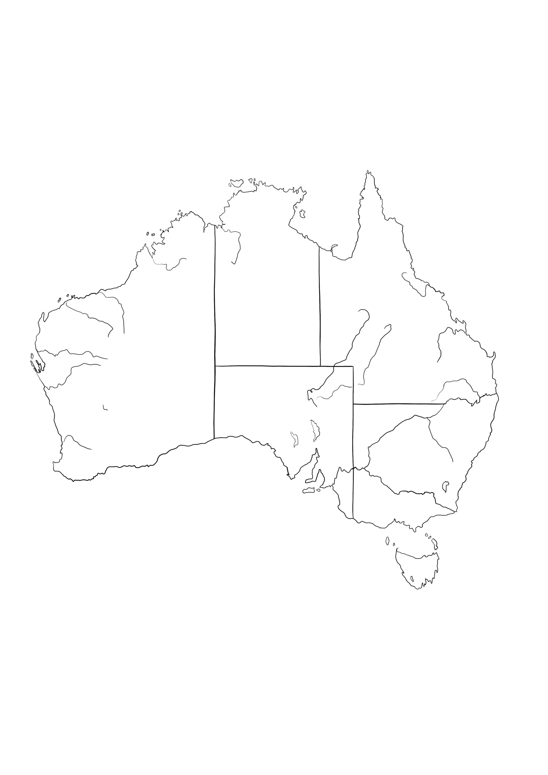
Embark on an educational and artistic journey to the Southern Hemisphere with this Map of Australia coloring page. This high-quality printable design offers a clear, accurate outline of the Australian continent, making it a fantastic resource for geography students, teachers, and parents homeschooling their children. The illustration captures the distinct shape of the massive island nation, providing a blank canvas for learning state borders and coastal geography.
Educational Fun for All Ages
This coloring sheet is designed with clearly defined lines, suitable for both school-aged children and adults. You can use this map to teach or learn the locations of Western Australia, Queensland, New South Wales, Victoria, South Australia, Tasmania, and the Northern Territory. Assign a unique color to each region to create a vibrant political map, or shade the interior with desert tones to represent the vast Outback.
Recommended Coloring Tools
To get the most out of this detailed map outline, we suggest using:
- Colored Pencils: Ideal for shading different states without obscuring the border lines.
- Fine-Liners: Perfect for tracing the coastlines or labeling major cities like Sydney and Melbourne.
- Crayons: Great for younger children who want to fill large areas with ocean blue around the map.
Click to download this free PDF coloring page now and start your Australian geography lesson!