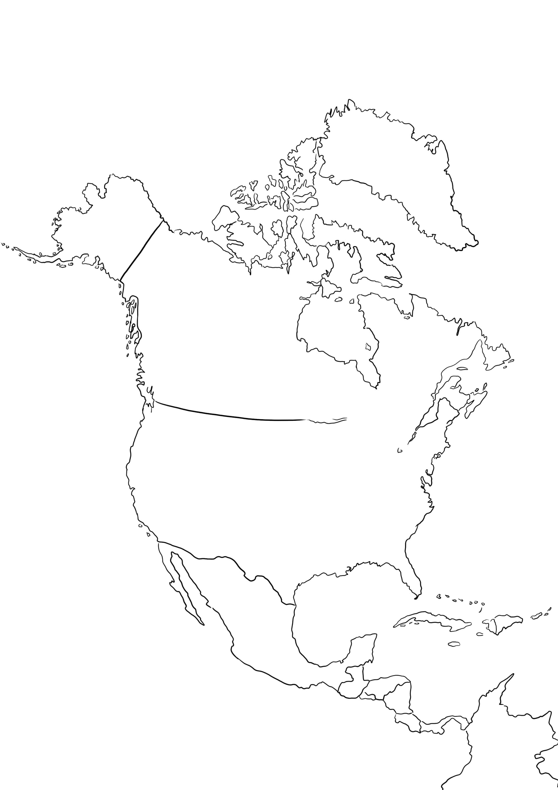
Explore the Continent with a North America Map Coloring Page
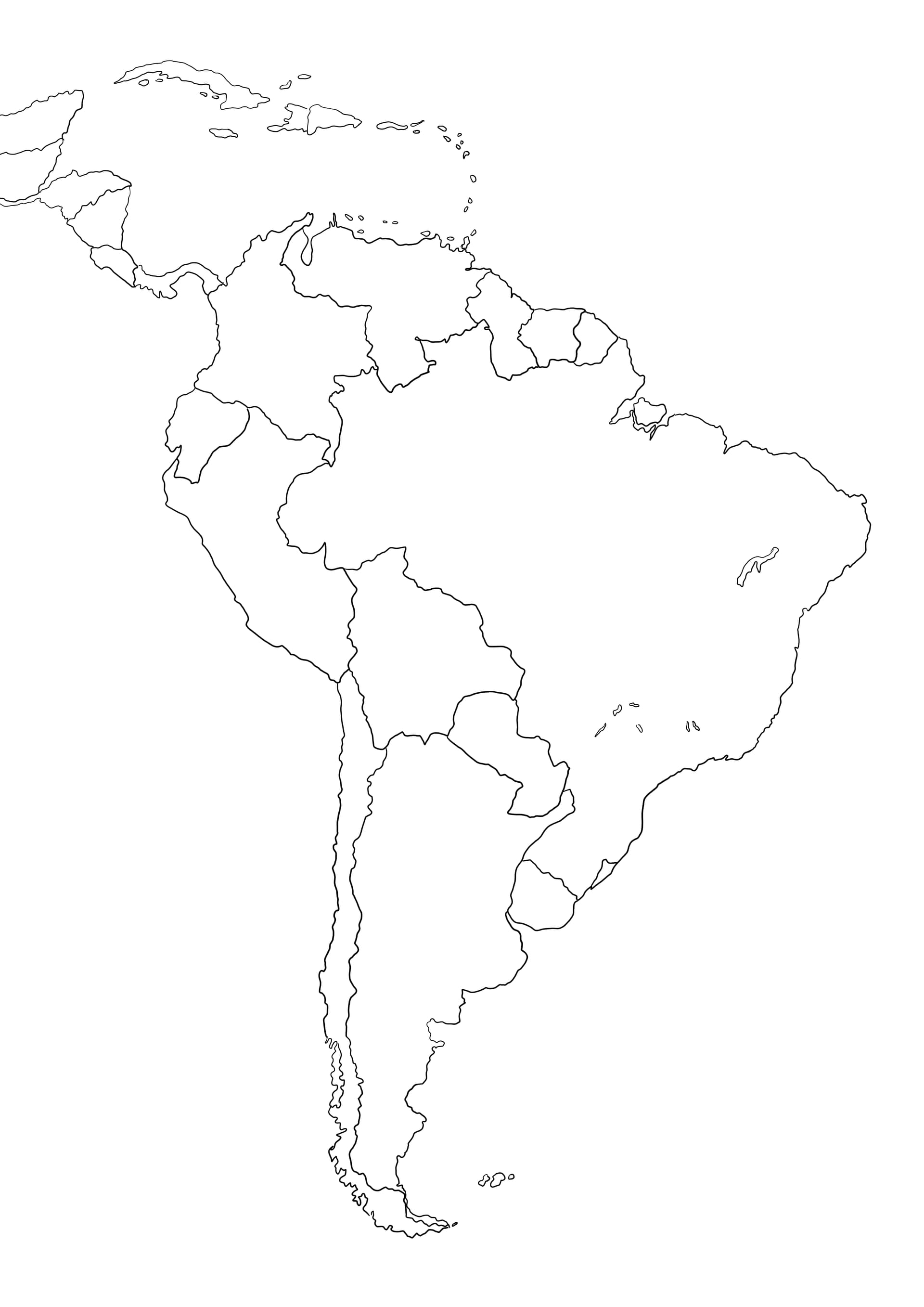
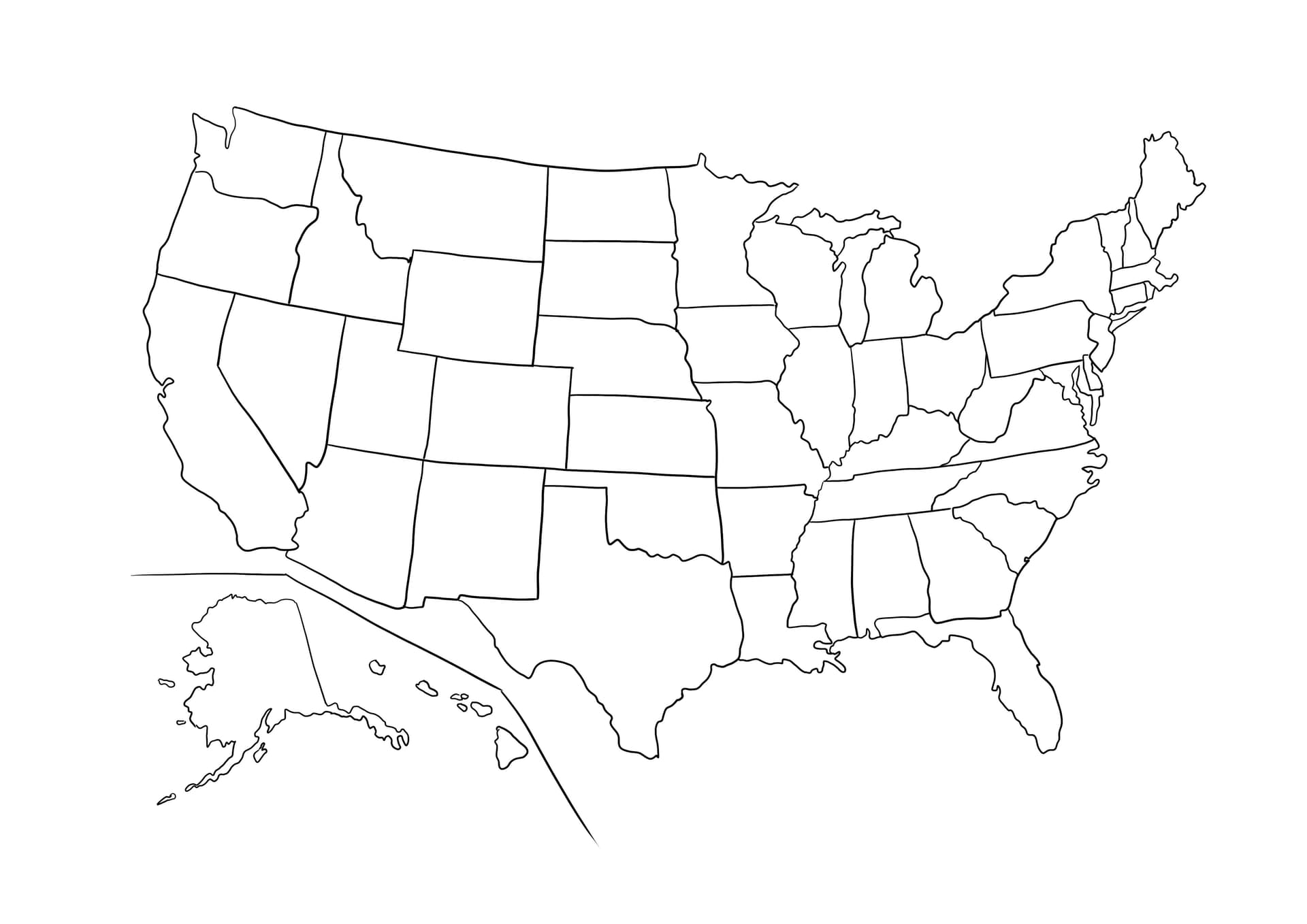
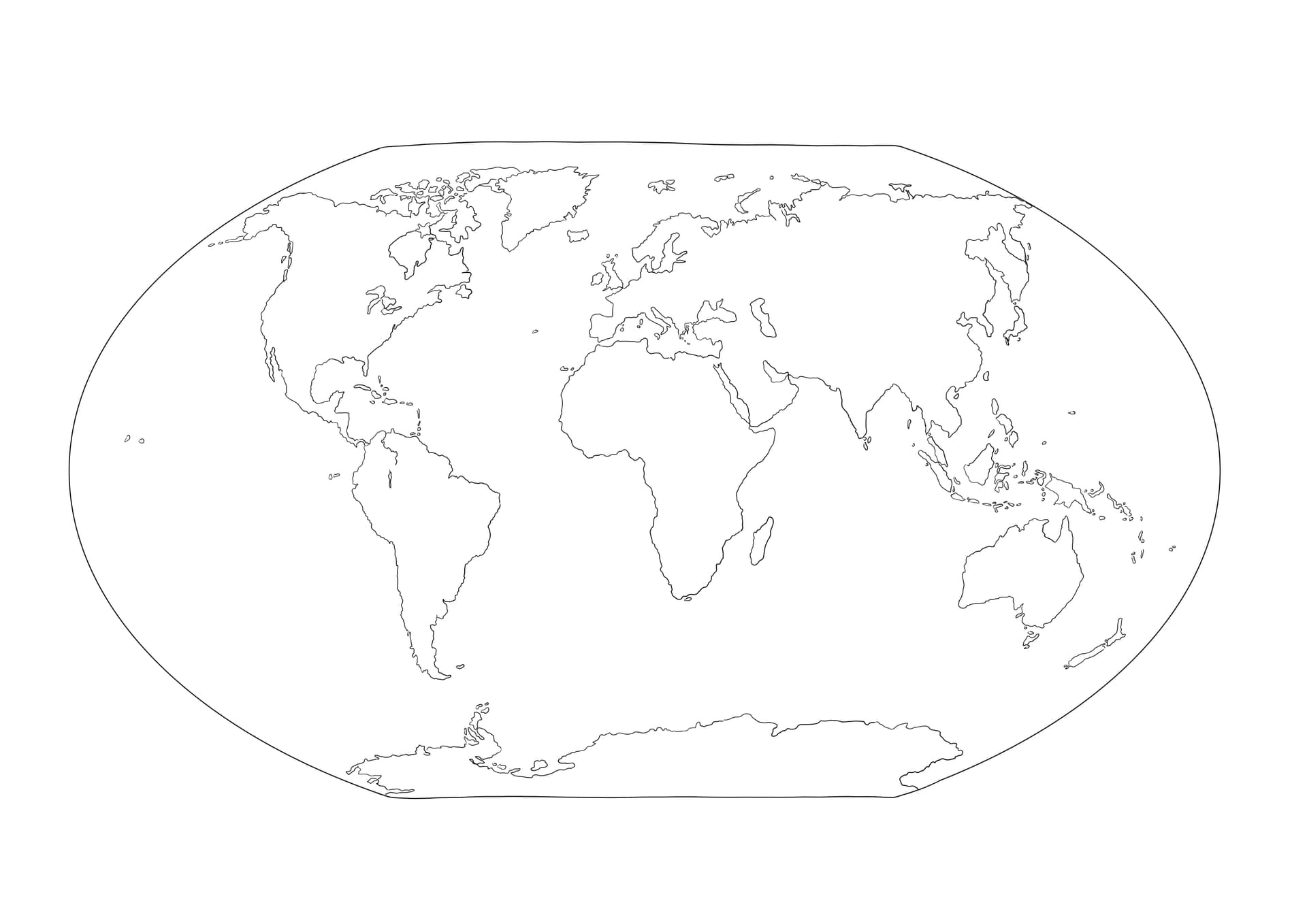
Embark on a geographical journey with this educational North America Map coloring page. This high-quality illustration features a clear, detailed outline of the continent, showcasing borders for major countries such as Canada, the United States, Mexico, and the nations of Central America. It is the perfect printable resource for teachers, homeschoolers, and students who want to learn geography through art.
Perfect for Classroom and Home Learning
Designed as a free download in a high-resolution PDF format, this map is optimized for standard A4 paper. The distinct lines make it easy for children and adults to color code different regions, label countries, or simply enjoy filling in the map with vibrant colors. Whether you are teaching a social studies lesson or looking for a quiet activity, this map provides a fantastic foundation.
- Colored Pencils: Best for shading specific countries and writing labels clearly.
- Fine-Tip Markers: Ideal for tracing coastlines and national borders for better definition.
- Crayons: Great for younger children to block in large areas of land versus ocean.