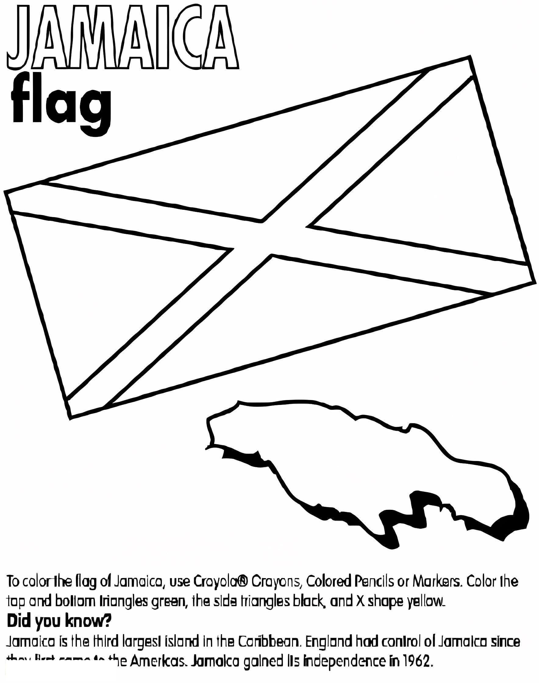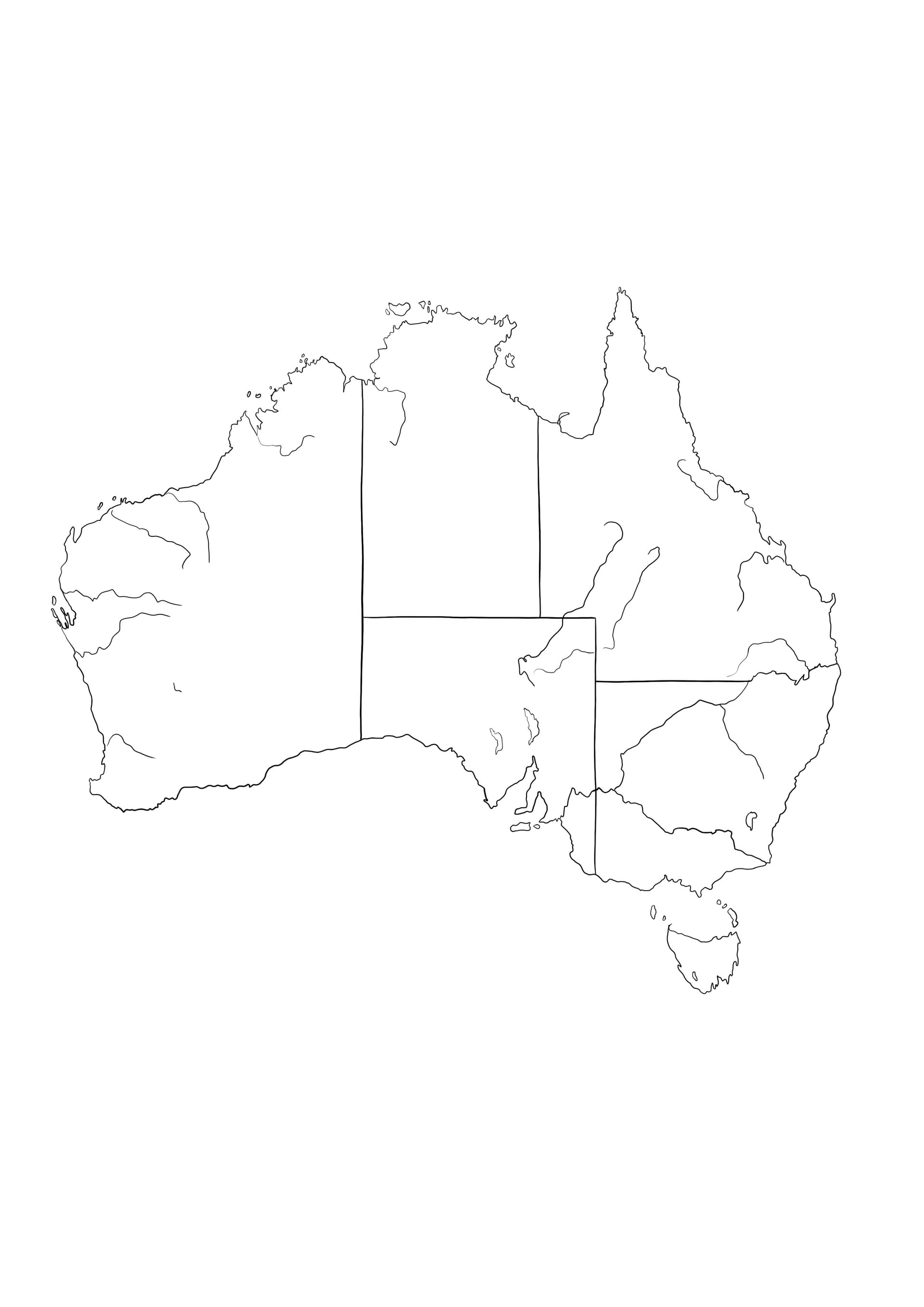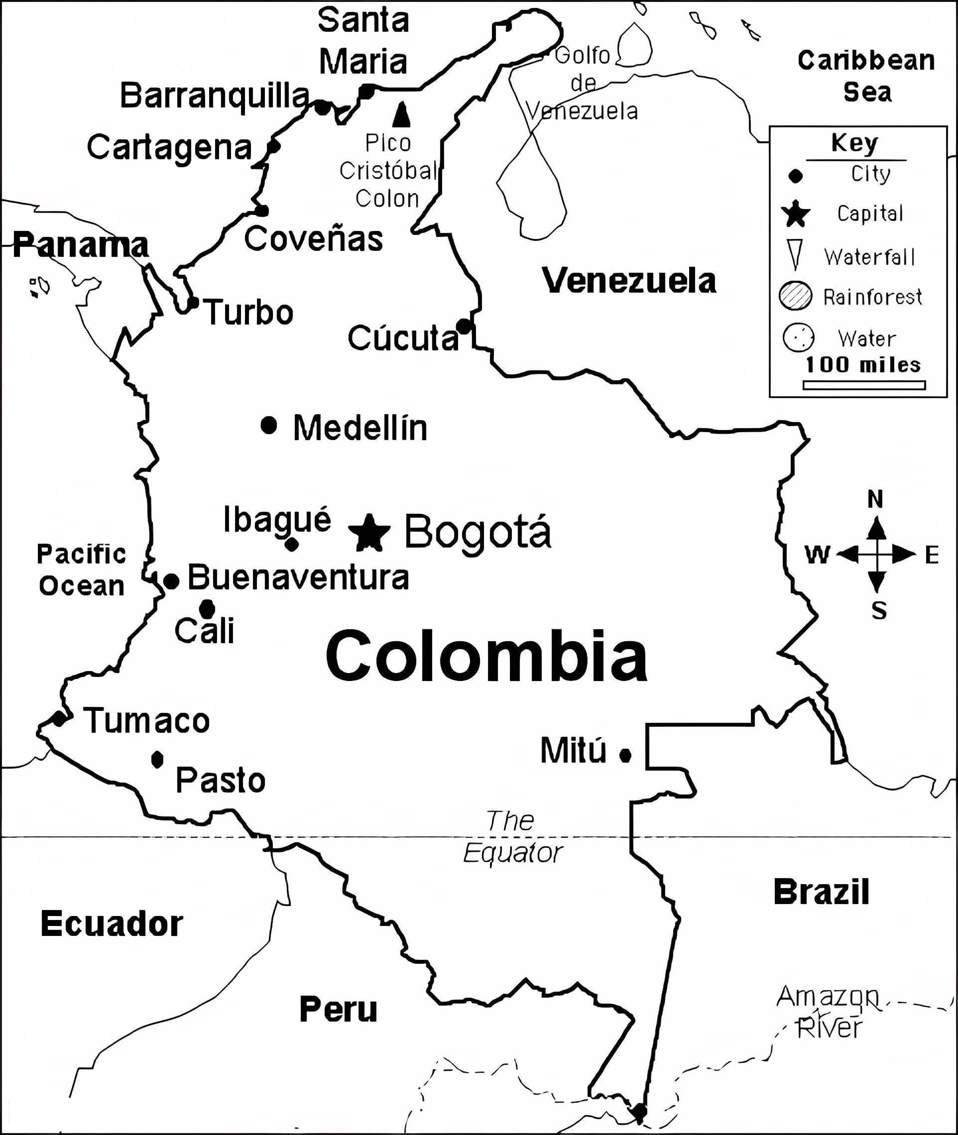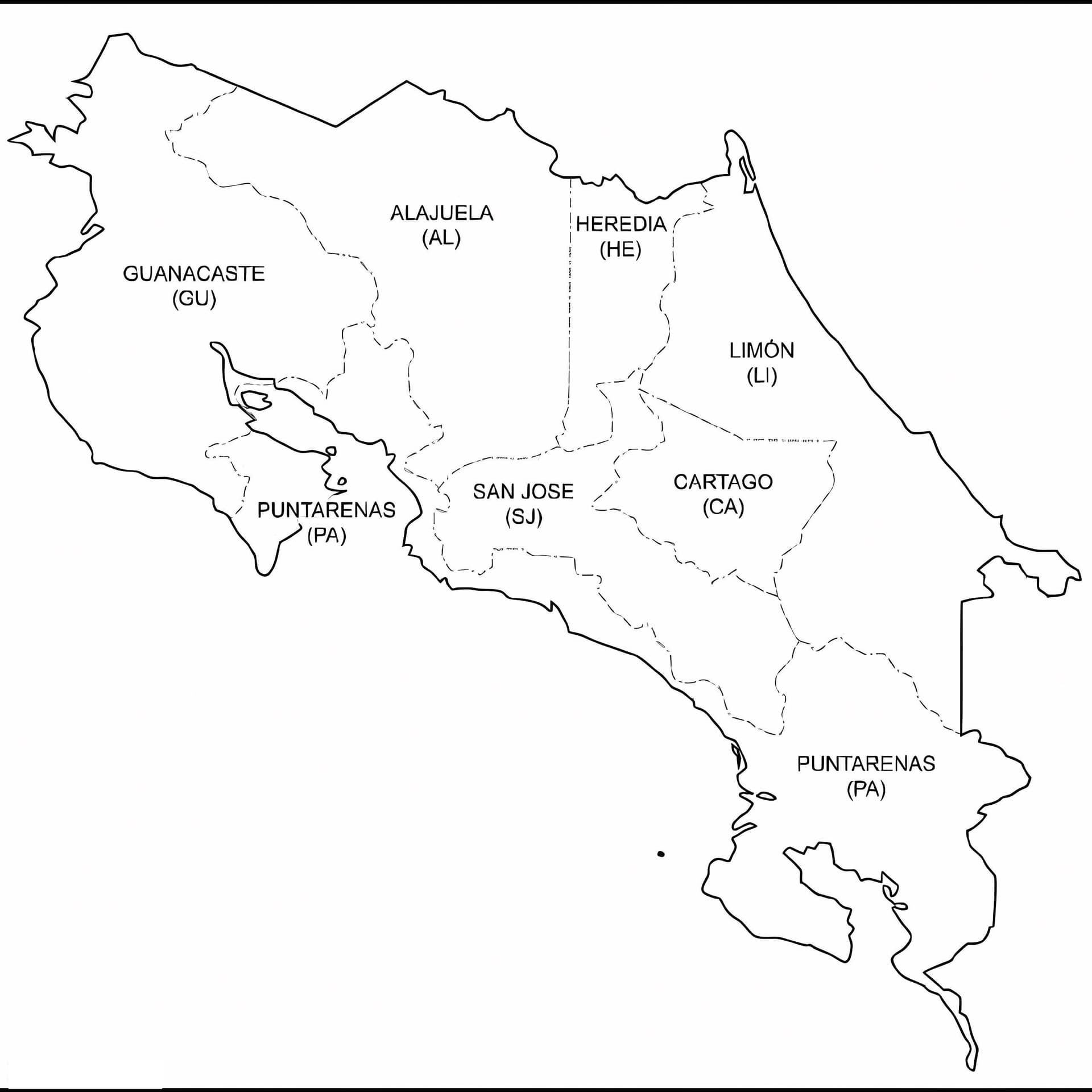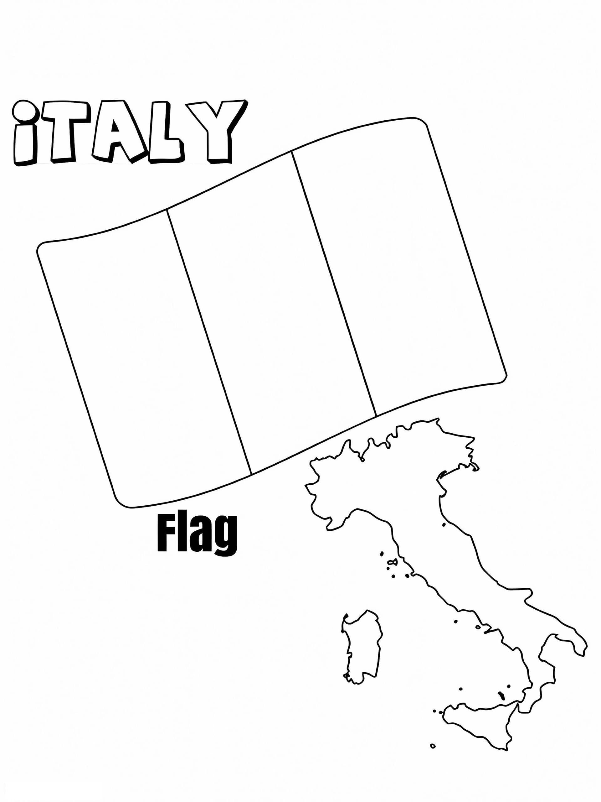
Discover the beauty of the Mediterranean with our Italy Map and Flag coloring page. This educational illustration combines the distinctive "boot" shape of the Italian peninsula with the iconic Tricolore national flag, making it an excellent resource for geography students, teachers, and travel enthusiasts.
Educational Geography Coloring for All Ages
Whether you are learning about European borders or preparing for a social studies project, this printable sheet offers a clear, high-quality outline. The design features the map of Italy alongside the flag's three vertical stripes, allowing colorists to practice recognizing the official colors usually associated with Italy: Green (Verde), White (Bianco), and Red (Rosso).
Recommended Coloring Tools
- Fine-tip markers: Perfect for tracing the intricate coastline and islands like Sicily and Sardinia.
- Crayons or colored pencils: Ideal for shading the flag's segments smoothly.
- Watercolors: Great for painting the surrounding seas in different shades of blue.
This free PDF download is formatted for standard A4 paper, ensuring a crisp print every time. It serves as a fantastic activity for preschoolers learning shapes, as well as older children studying world maps.