Explore the Emerald Isle with a Map of Ireland Coloring Page
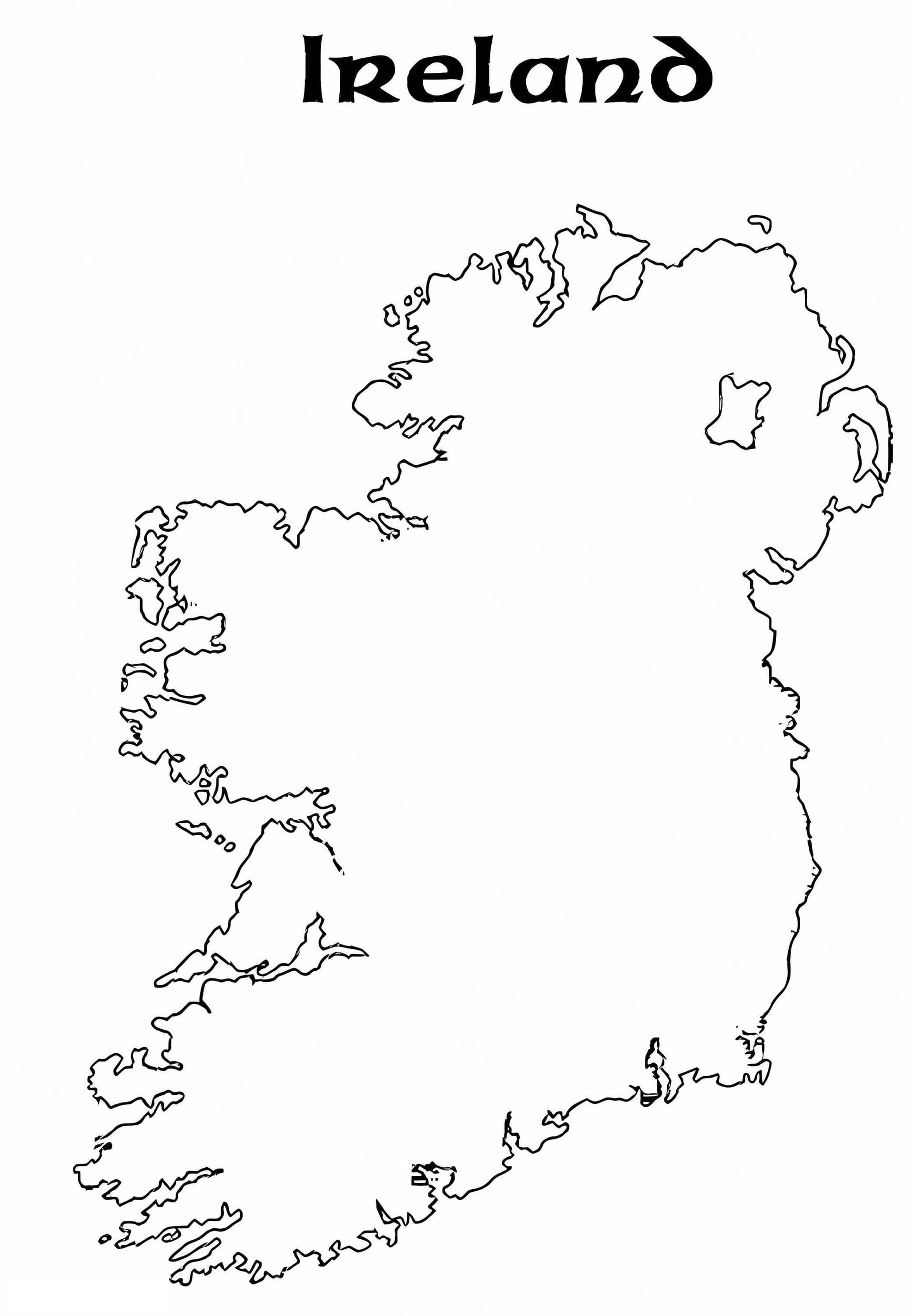
Dive into geography with this educational Map of Ireland coloring page. Perfect for students, teachers, and geography enthusiasts, this printable sheet provides a clear, high-quality outline of the island of Ireland. Whether you are teaching a lesson about European countries, celebrating Saint Patrick's Day, or simply love map-making, this free download is an excellent resource.
This distinct outline features the rugged coastline and the general shape of the country, allowing colorists to fill in the counties or distinguish between the Republic of Ireland and Northern Ireland. It is designed to fit standard A4 paper, making it easy to print at home or in the classroom.
Recommended Coloring Tools
Because maps often require precision, specific tools work best:
- Colored Pencils: Ideal for shading different regions or adding specific details like city names.
- Fine-Tip Markers: Great for tracing borders to make them pop.
- Watercolors: Use a light wash of green to truly capture the spirit of the "Emerald Isle."
Download your free printable PDF today and start your journey across the Irish map!