Explore Scandinavia with this Norway Map With Cities Coloring Page
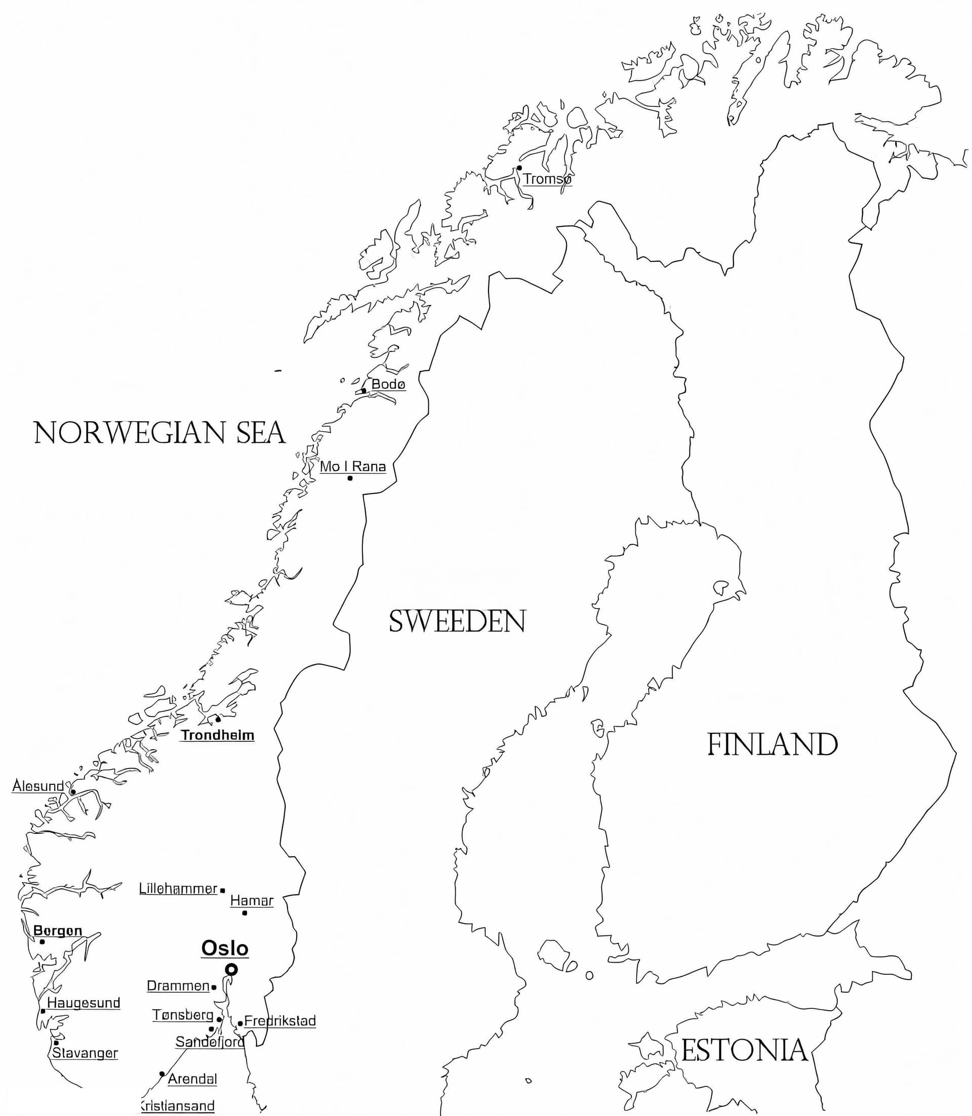
Embark on a geographical journey to Northern Europe with our detailed printable Norway map with cities coloring page. This educational outline is designed to help students, teachers, and geography enthusiasts learn about the unique shape and major urban centers of this Scandinavian country from the comfort of their home or classroom.
This high-quality free download features a clear, labeled outline of Norway, highlighting significant cities such as the capital Oslo, the coastal hub of Bergen, and the historic city of Trondheim. The map also traces the famous jagged coastline, hinting at the majestic fjords that define the nation's geography. It is an excellent resource for educational projects, social studies homework, or simply for anyone who loves maps.
Tips for Coloring Your Map
- Fine-Liners: Use fine-tip markers or gel pens to clearly label or circle the specific cities without obscuring the text.
- Color Coding: Assign different colors to various regions or counties (fylker) to visualize the administrative divisions.
- Water vs. Land: Use a light blue watercolor or crayon to shade the Norwegian Sea and the North Sea, contrasting with earth tones for the landmass.
Download this high-resolution PDF today and start your Nordic adventure!