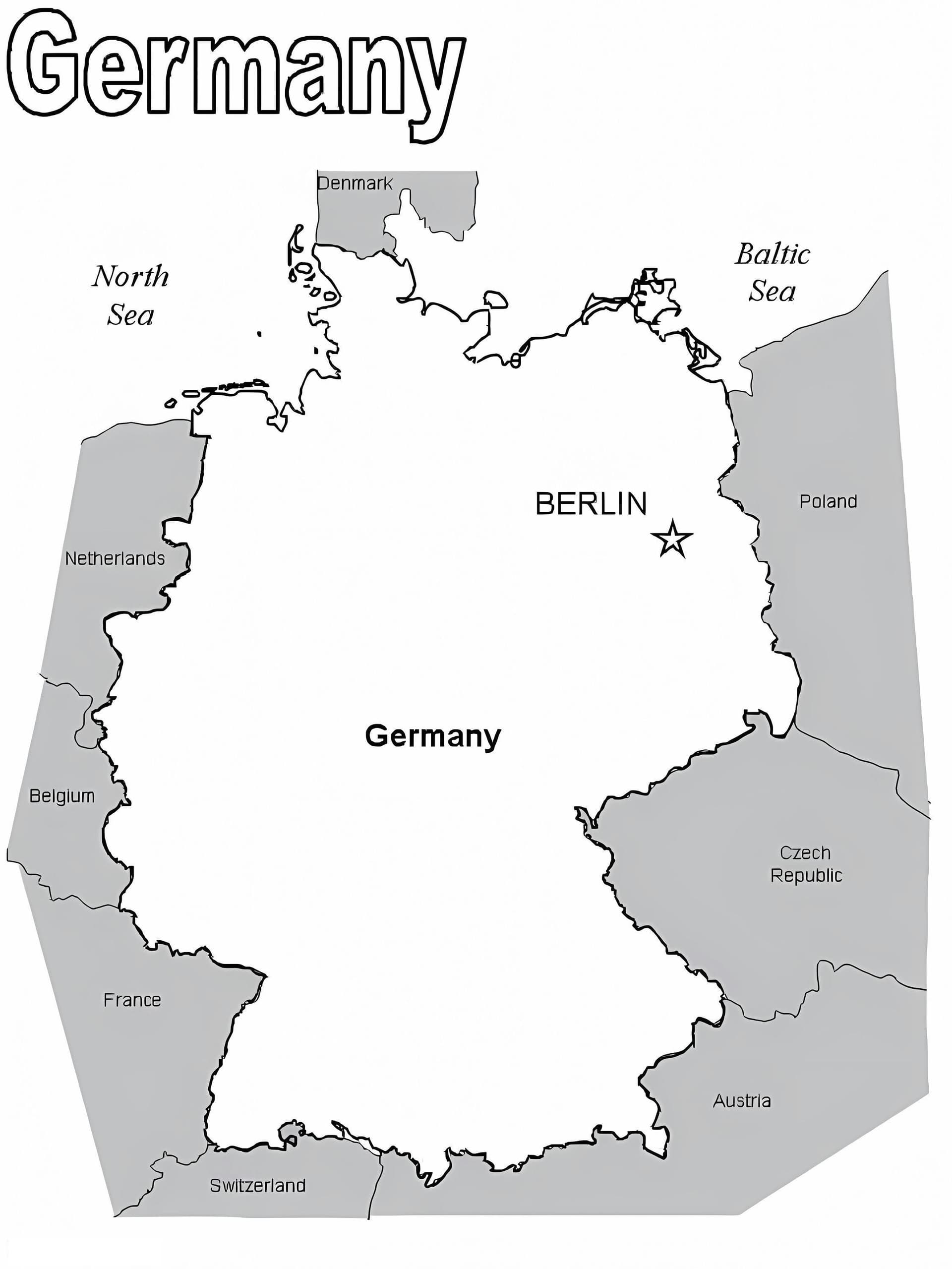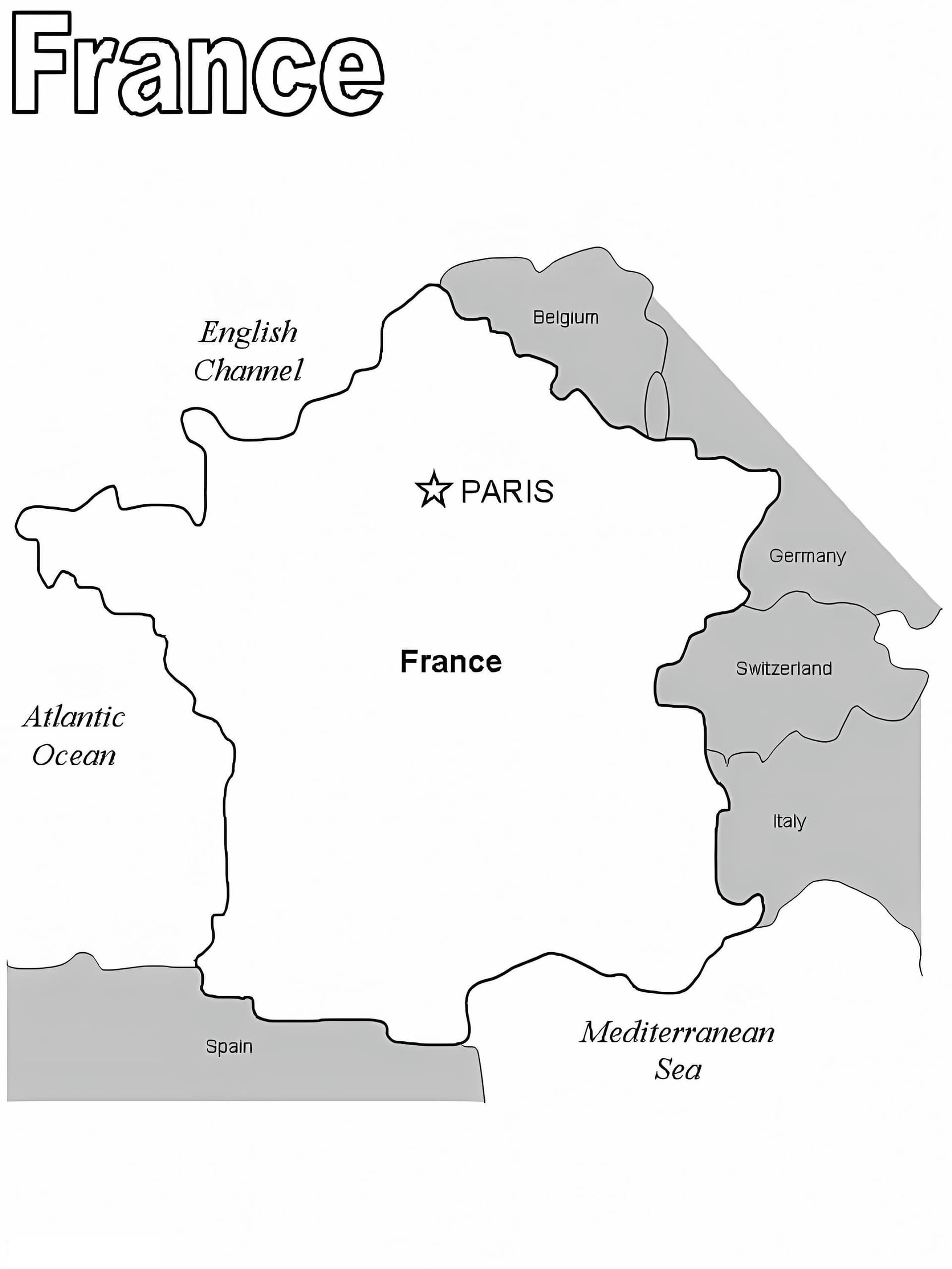
Explore Geography with this Map of France Coloring Page
Discover the distinct shape of the "Hexagon" with our educational Map of France coloring page. Designed for students, teachers, and geography enthusiasts, this printable outline provides a perfect way to learn about French regions and borders while being creative. Whether you are labeling major cities like Paris and Lyon or color-coding different provinces, this high-quality illustration is ready for your artistic touch.
Perfect for Classroom & Home Learning
This free download comes in a standard A4 format, making it easy to print as a PDF. It features clear, distinct lines suitable for educational purposes. It is an excellent resource for:
- Learning European geography and identifying neighboring countries.
- School projects, homeschooling, and educational activities for kids of all ages.
- Using colored pencils for distinct regions or fine-tip markers for writing city names.
Grab your colors and start your journey through France today with this engaging printable sheet available for free download!