Explore France with this Educational Coloring Page
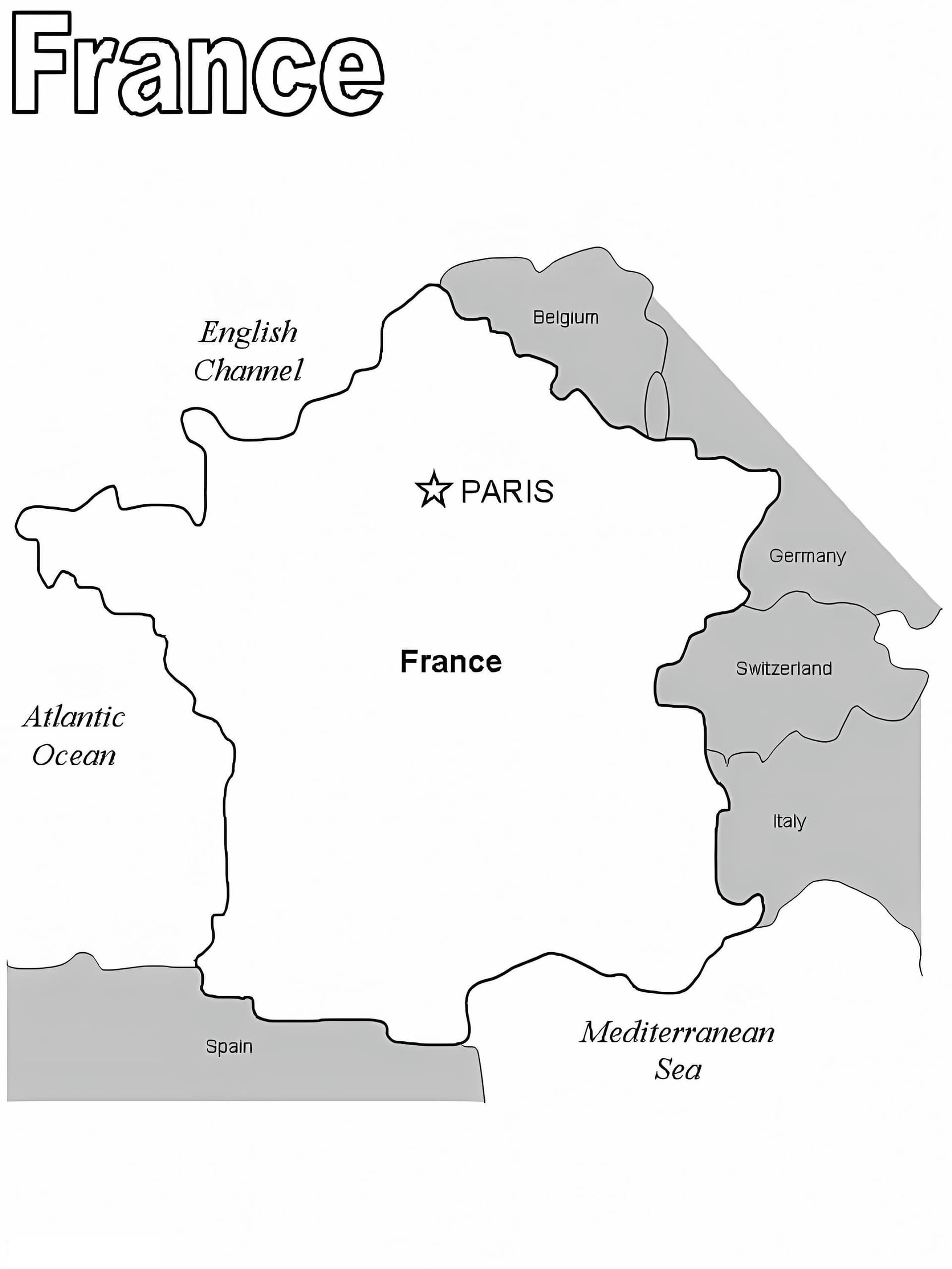
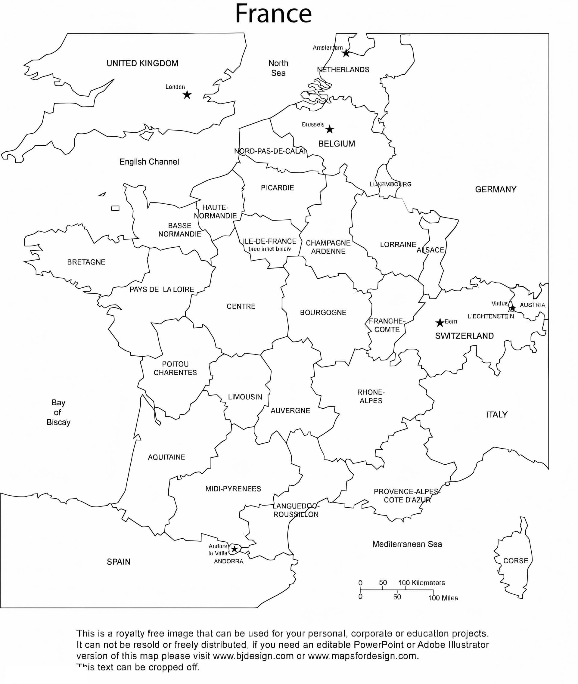
Embark on a geographical journey through Western Europe with our France Map coloring page. This high-quality black-and-white outline perfectly captures the iconic shape of the country often called "L'Hexagone." It is an ideal resource for geography students, teachers, and coloring enthusiasts looking for a clean, printable design.
Perfect for School Projects and Geography Lessons
This blank map of France is versatile and educational. It serves as an excellent worksheet for children and students to practice:
- Geography Skills: Great for labeling major cities like Paris, Lyon, and Marseille, or identifying neighboring countries and bodies of water.
- Fine Motor Skills: Carefully coloring within the complex borders helps improve hand-eye coordination for younger learners.
- Visual Learning: Use different colors to distinguish specific regions or geographical features like the Alps and the Pyrenees.
We recommend using colored pencils or fine-tip markers to ensure precision along the coastline borders. This free printable PDF is optimized for standard A4 paper, ensuring a sharp and crisp print. Download your copy today and combine art with education!