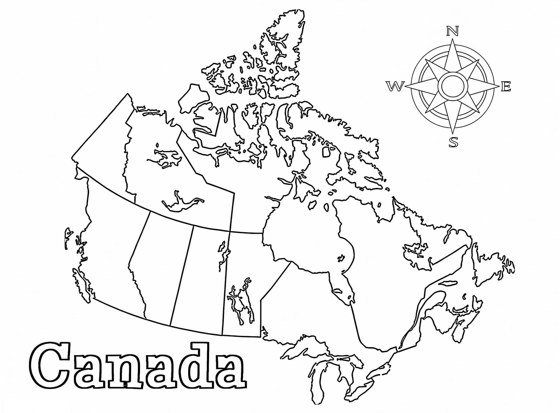
Embark on an educational journey across the Great White North with our Canada Map Coloring Page. This detailed illustration provides a clear outline of the world's second-largest country, making it an excellent resource for geography lessons, school projects, or homeschool activities.
Learn the Provinces and Territories
This printable map clearly delineates Canada's ten provinces and three territories, allowing children and students to learn their locations while coloring. From British Columbia in the west to Newfoundland and Labrador in the east, this map serves as a fantastic visual aid for memorizing Canadian geography using a hands-on approach.
Recommended Coloring Tools
Because maps often require precision to distinguish borders, we recommend using colored pencils or fine-tip markers. Assigning a unique color to each province is a strategic way to visually separate the regions. This image is optimized for A4 and Letter-sized paper in high-quality PDF format, ensuring sharp lines for easy printing.