Explore Geography with the Chile Flag and Map Coloring Page
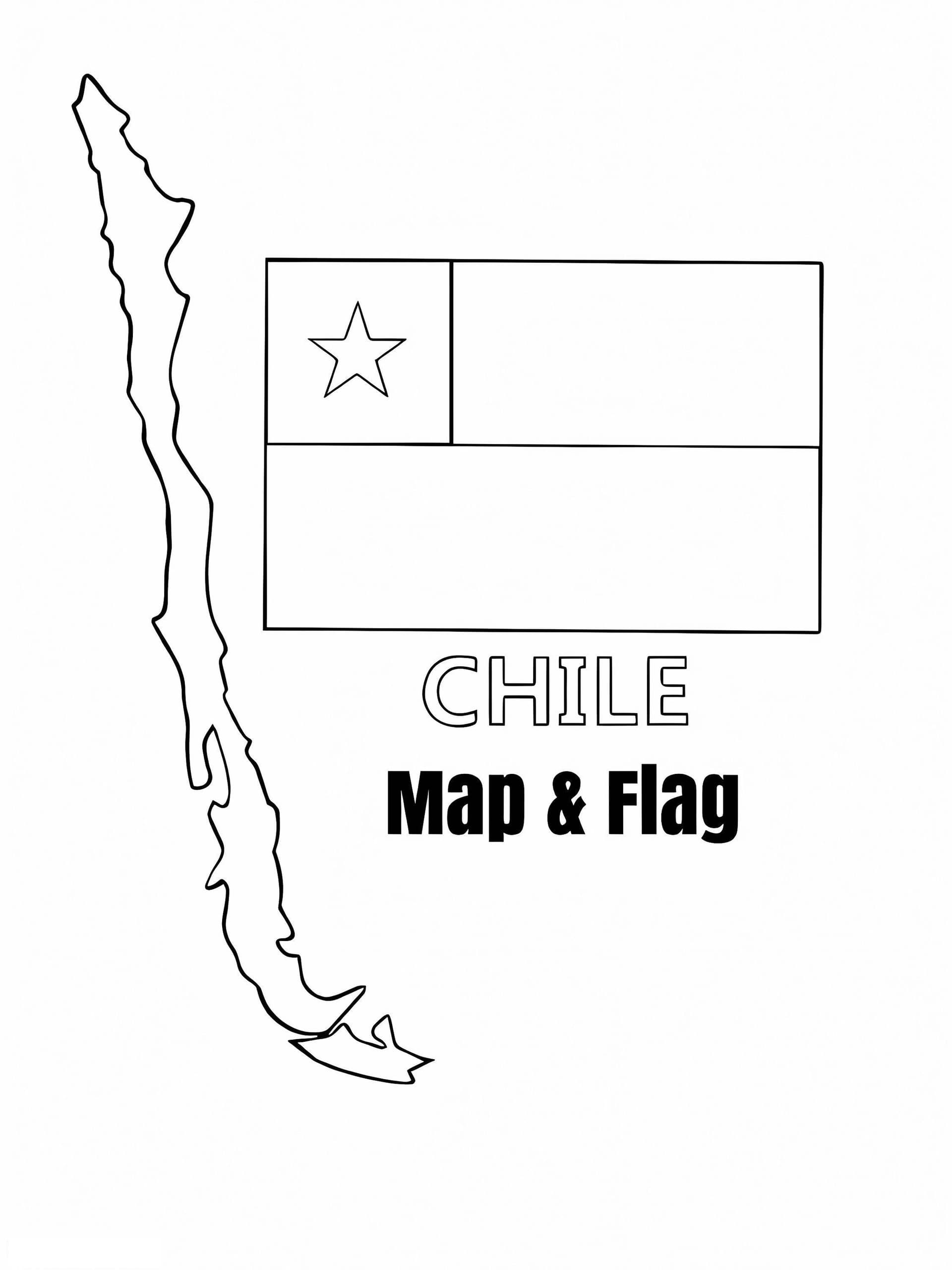
Embark on an artistic journey to South America with this detailed Chile Flag and Map coloring page. This printable sheet is designed for students, teachers, and geography enthusiasts who want to learn about the "Republic of Chile" through art. The illustration features the national flag—known as La Estrella Solitaria (The Lone Star)—alongside an accurate outline of the country's unique, long, and narrow geography stretching along the Pacific coast.
This high-quality downloadable PDF is compatible with A4 paper, making it perfect for classroom activities or home learning. The design clearly separates the flag's blue square, white horizontal band, and red bottom band, while the map outline invites you to trace the borders or mark the capital city, Santiago.
Recommended Coloring Tools
- Colored Pencils: Ideal for shading the narrow map borders and adding details to the geography.
- Markers: Use bright red and deep blue markers to make the national colors pop on the flag.
- Crayons: Great for younger children filling in the larger sections of the flag.
Download this free printable coloring page today and combine creativity with educational fun!