Explore Geography with the Croatia Flag and Map Printable
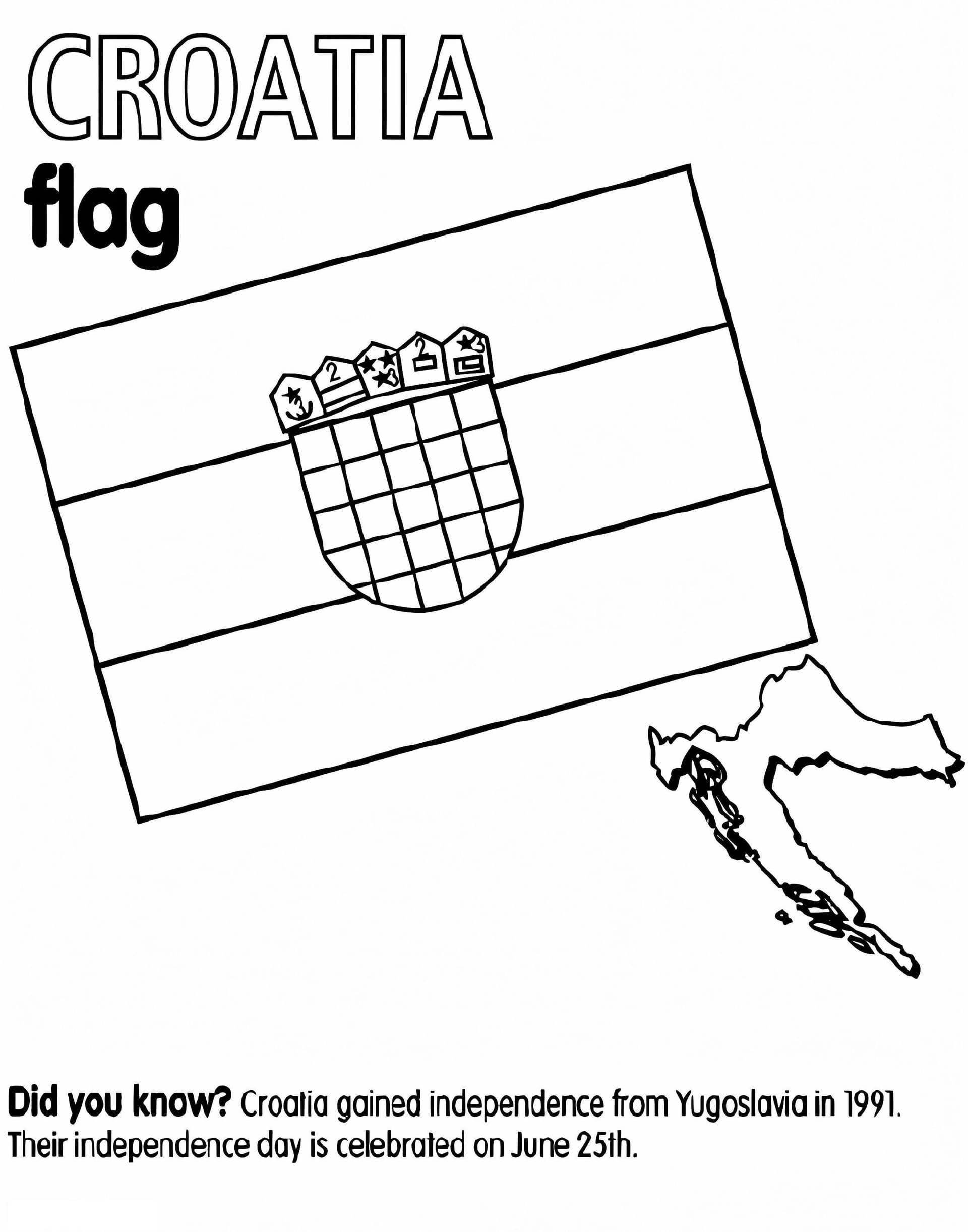
Leap into a world of learning with our Croatia Flag and Map coloring page. This detailed illustration serves as a fantastic educational tool for children, students, and geography enthusiasts who want to familiarize themselves with this beautiful European country. Whether you are a teacher looking for classroom resources or a parent seeking a fun rainy-day activity, this free download offers a high-quality outline ready to be brought to life with color.
Design Details and Coloring Tips
This coloring sheet features two main components: the intricate geographical border of Croatia and its national flag. The visuals are designed with clean lines, making it easy for kids to stay within the borders while using crayons, markers, or colored pencils. To color the flag accurately, follow this guide:
- Top Band: Use a bright red.
- Middle Band: Leave this white.
- Bottom Band: Use a deep blue.
- Coat of Arms: The central shield features a distinctive red and white checkerboard pattern, known as the šahovnica.
The map outline captures Croatia's unique crescent shape, including its stunning coastline along the Adriatic Sea. You can use green to represent the lush plains or brown for the mountainous regions. Download this printable PDF today and enjoy a creative approach to social studies!