Explore Canadian Geography with Art
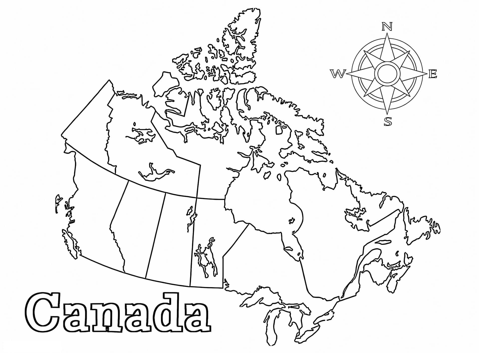
Embark on an educational journey across North America with this detailed Map of Canada coloring page. This high-quality printable features a clear outline of the Great White North, allowing students and geography enthusiasts to visualize the vast landscapes, from the Pacific coast of British Columbia to the Atlantic shores of Newfoundland and Labrador. It is an excellent resource for learning the layout of Canada's provinces and territories.
Perfect for Classrooms and Homeschooling
Designed specifically for educational activities, this map serves as a fantastic visual aid for geography lessons, Canada Day celebrations, or social studies projects. The clean lines and A4 format make it easy to print and color, suitable for grade school students, teens, and even adults interested in cartography.
Recommended Coloring Tools
- Colored Pencils: Ideal for coloring within the specific borders of provinces like Ontario, Quebec, and Alberta without smudging.
- Fine-Tip Markers: Great for outlining the borders to make the provinces pop.
- Blue Watercolors: Perfect for filling in the surrounding oceans and Hudson Bay to create a realistic look.