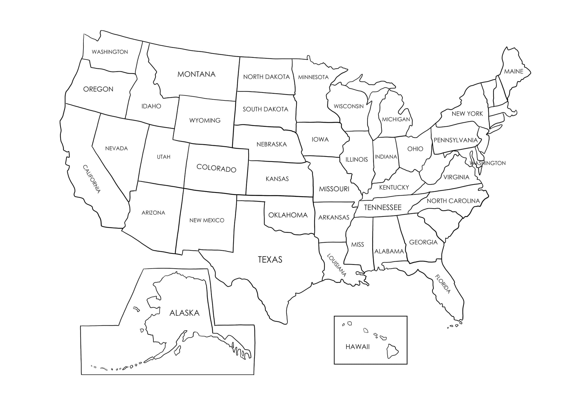
Master Geography with a Printable USA Map Coloring Page
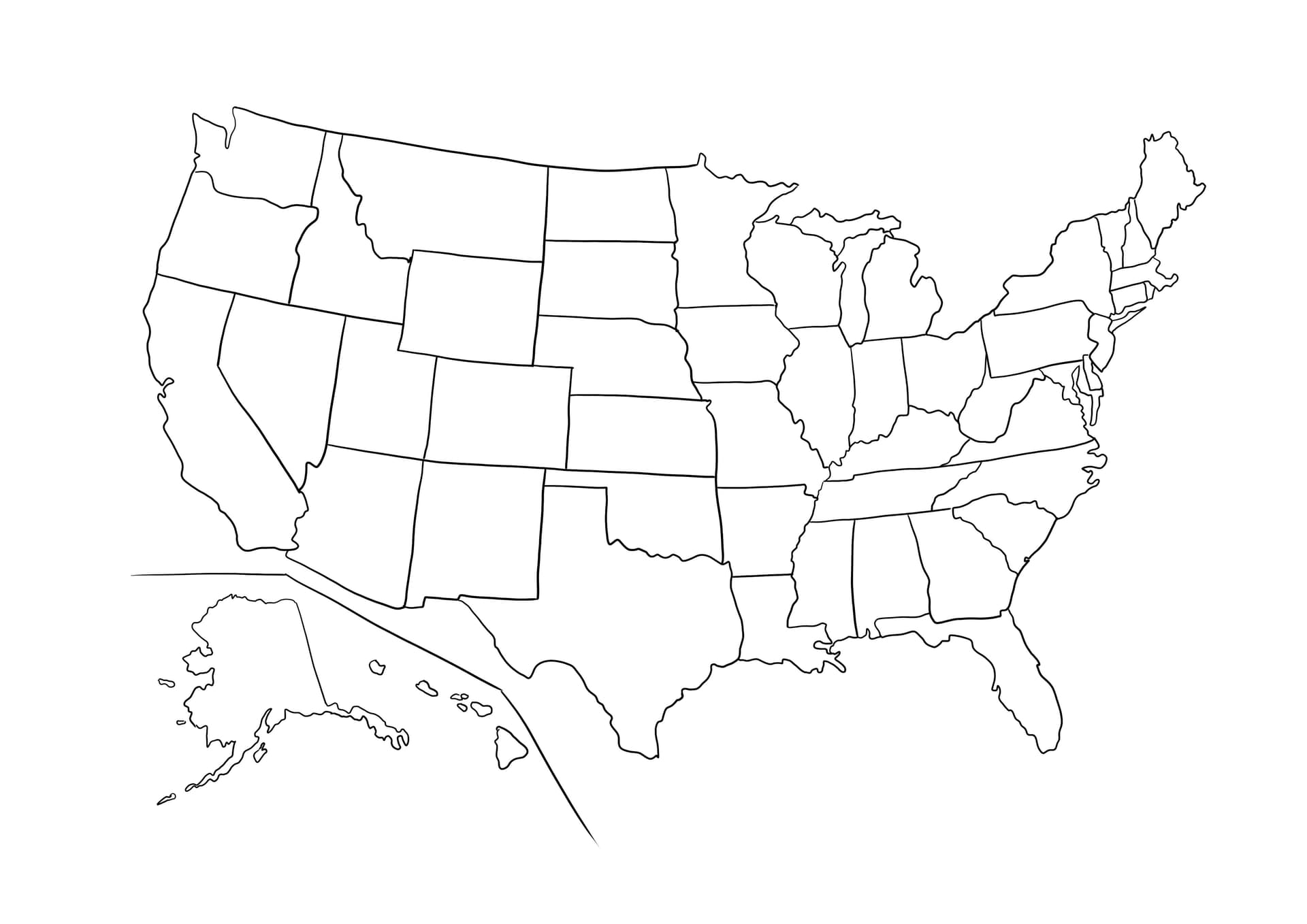
Explore the United States of America with this educational and engaging Simple USA map with names of states coloring page. Designed perfectly for students, teachers, and homeschooling parents, this high-quality printable features clear, distinct outlines of all 50 states, each labeled with its respective name. It serves as an excellent visual aid for geography lessons, helping children memorize state locations and spellings through creative play.
This free download is optimized for A4 paper and PDF printing, ensuring sharp lines that are easy to follow. The "simple" design approach focuses on readability and thick outlines, making it accessible for elementary schoolers and beginners who are just starting to learn about the country. Whether for a 4th of July activity or a social studies project, this sheet adds a splash of color to learning.
Best Tools for Coloring Maps
- Colored Pencils: essential for handling the intricate borders and smaller states on the East Coast.
- Fine-Tip Markers: Great for highlighting state boundaries or color-coding regions (e.g., Midwest, South).
- Gel Pens: Perfect for tracing over the state names to help with memorization.
Click to download usage-ready PDF file now and start your colorful journey across the USA!