Explore the Globe: Free Printable World Map Coloring Page
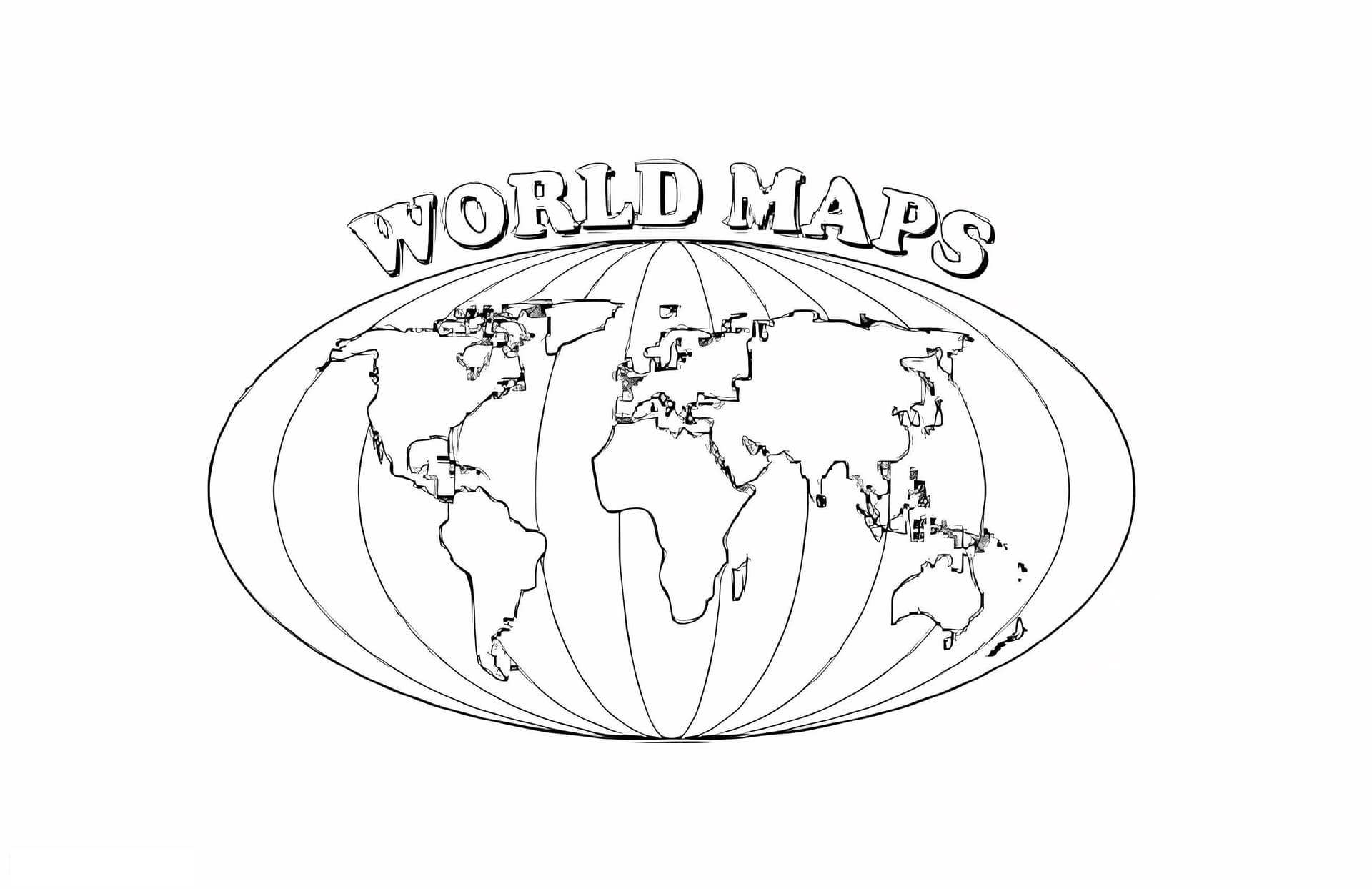
Embark on a global adventure right from your desk with our World Map coloring page. This detailed high-quality illustration features accurate outlines of all seven continents—North America, South America, Europe, Africa, Asia, Australia, and Antarctica—along with the major oceans. It is an excellent educational resource for parents, teachers, and homeschoolers looking to make geography lessons fun and interactive.
This printable PDF is designed to fit standard A4 paper, making it easy to download and print immediately. The clear black-and-white lines are well-defined, helping students differentiate between landmasses and water bodies easily while practicing their fine motor skills.
Best Tools for Mapping the World
Since detailed maps often require precision, especially near coastlines and islands, specific tools work best:
- Colored Pencils: The best choice for precision when coloring specific countries or smaller regions.
- Fine-Tip Markers: Great for outlining the borders of continents to make them pop.
- Watercolor Paints: Use a light wash of blue for the oceans to make the landmasses stand out beautifully.
Download this free geography coloring sheet today and help young learners master the layout of the Earth while expressing their creativity!