Learn Geography with a South Africa Map Coloring Page
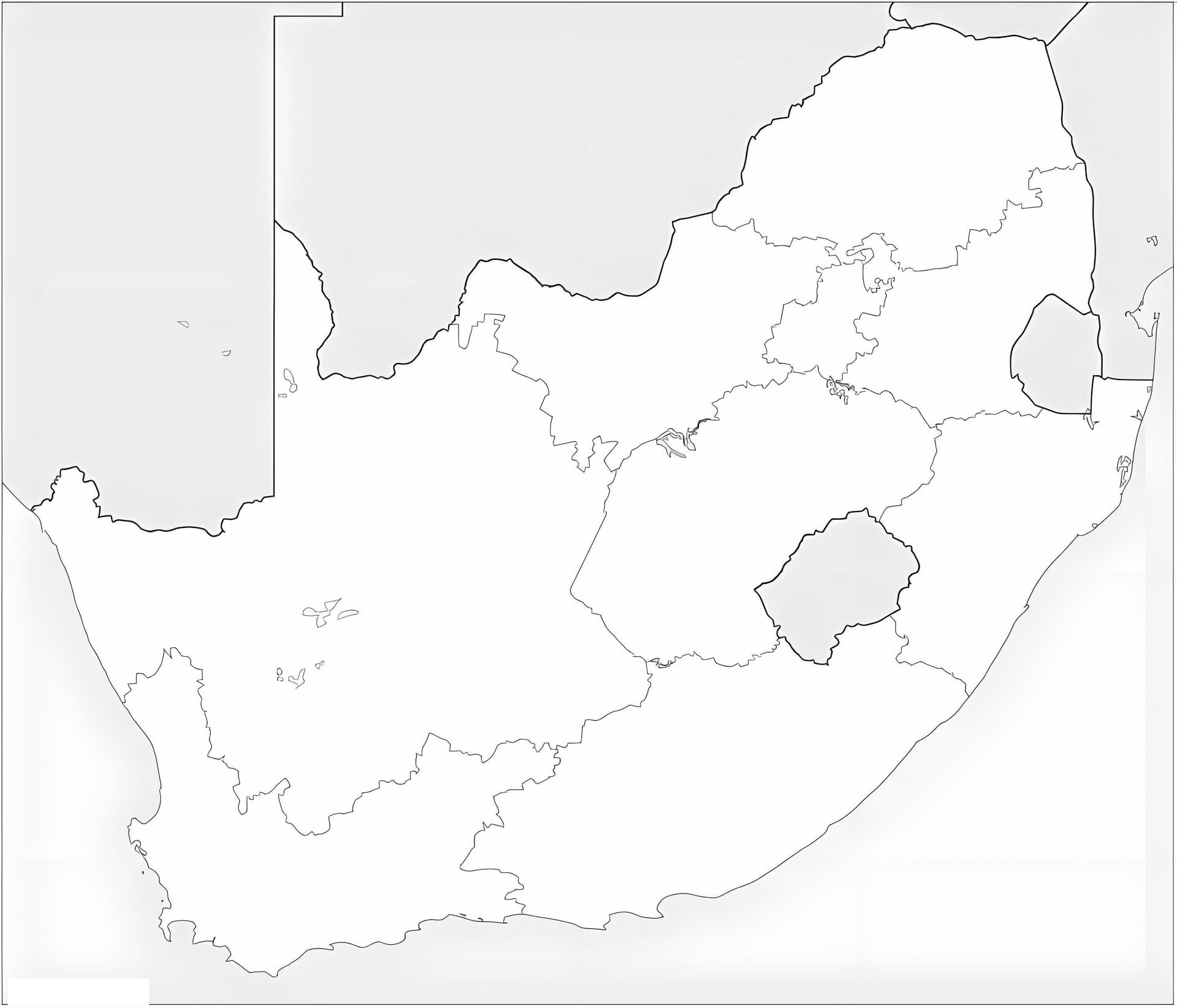
Discover the distinct shape of the "Rainbow Nation" with our South Africa Map coloring page. This educational illustration features a clean, high-quality outline of the country found at the southernmost tip of the African continent. It is an excellent resource for teachers, homeschoolers, and students looking to enhance their geography knowledge through creative art. Whether you are studying world maps or just enjoy coloring unique shapes, this printable sheet is designed for you.
Free Printable Resource for Kids and Students
Our free download PDF is optimized for A4 printing, ensuring that the borders remain sharp and easy to follow. This map is ideal for adding details such as provinces, major cities, or neighboring countries. It serves as a fantastic visual aid for social studies projects or classroom activities, suitable for grade school students and teens alike.
Suggested Coloring Tools
- Colored Pencils: essential for drawing precise borders or writing in geographical names.
- Fine-Tip Markers: Use blue markers to color the surrounding Atlantic and Indian Oceans.
- Watercolors: Great for creating a textured terrain effect on the landmass.