Explore the Ocean State with Color
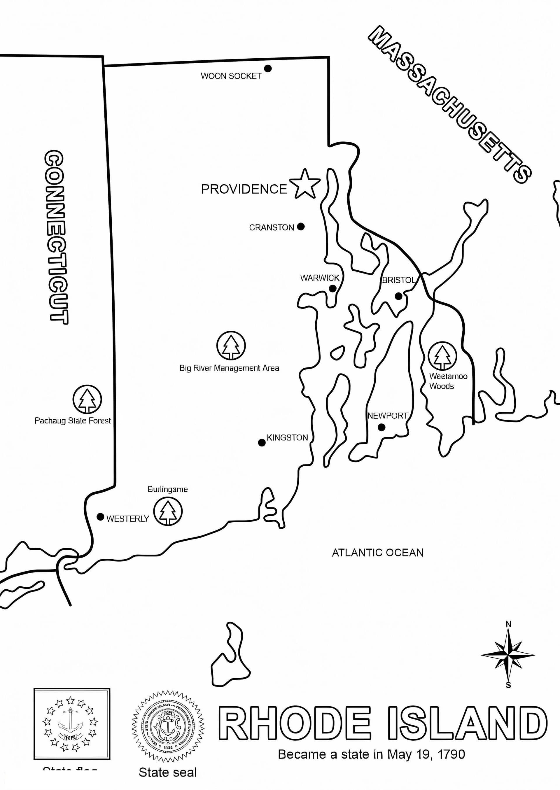
Dive into United States geography with this printable Rhode Island map coloring page. As the smallest state in the U.S., Rhode Island offers a unique shape filled with bays, islands, and a complex coastline that makes for an engaging coloring activity. This free download features a clean, high-resolution blank outline that is perfect for students, teachers, and homeschooling parents.
Educational Geography Activity
This PDF coloring sheet is designed to be versatile and educational. It serves as an excellent tool for:
- Labeling Practice: Use fine-tip markers or pens to identify the capital city of Providence, major islands, and neighboring states.
- Classroom Projects: Ideal for social studies lessons where students can color-code counties or learn about geographic boundaries.
- Creative Fun: Suitable for kids of all ages, from preschoolers enjoying abstract coloring to older students creating detailed topographical maps.
We recommend using colored pencils or crayons to fill in the landmasses and blue watercolors to represent the Atlantic Ocean and Narragansett Bay. Download this high-quality A4 PDF today and start your journey through the map of Rhode Island!