Explore Geography with This Mexico Map Coloring Page
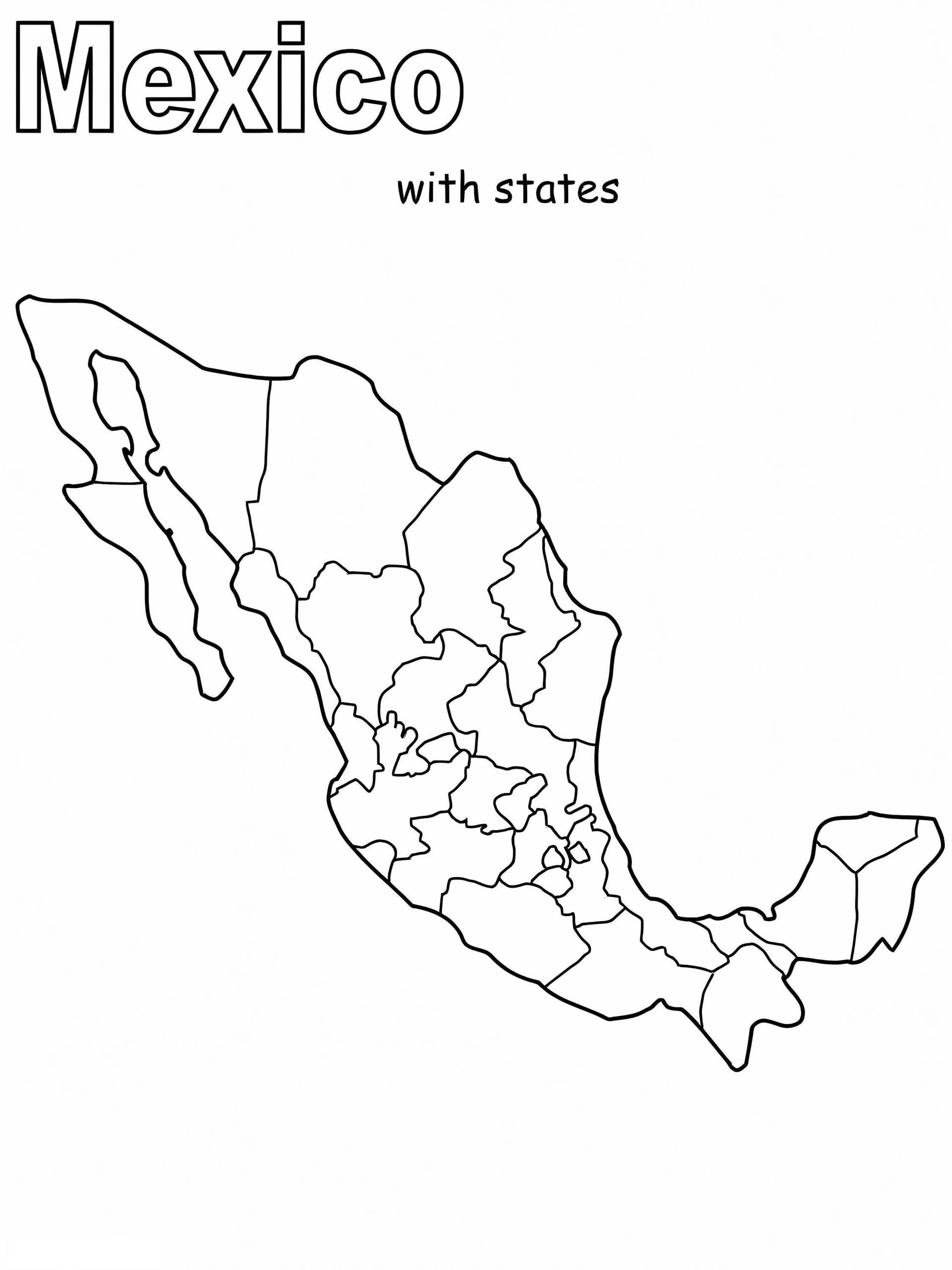
Embark on an educational journey to North America with our Mexico Map coloring page. This high-quality outline design is perfect for students, teachers, and children eager to learn about world geography through art. Whether you are preparing for a social studies project or celebrating annual festivities like Cinco de Mayo, this printable sheet provides a clear and accurate canvas.
Perfect for Learning and Creativity
This printable map features a distinct outline of Mexico's borders, allowing specific focus on the country's shape and its neighboring water bodies, the Gulf of Mexico and the Pacific Ocean. It is an excellent resource for various activities:
- Geography Lessons: Use this outline to identify and color different regions, states, or major cities.
- Fine Motor Skills: The clean lines are suitable for older kids and teens to practice coloring within detailed boundaries.
- Cultural Education: A great visual aid for discussing Mexican culture, history, and biodiversity.
For the best experience, we recommend using colored pencils or fine-tip markers to allow for precise shading and labeling. This free download is optimized for A4 paper and available in PDF format, ensuring a sharp, crisp print every time.