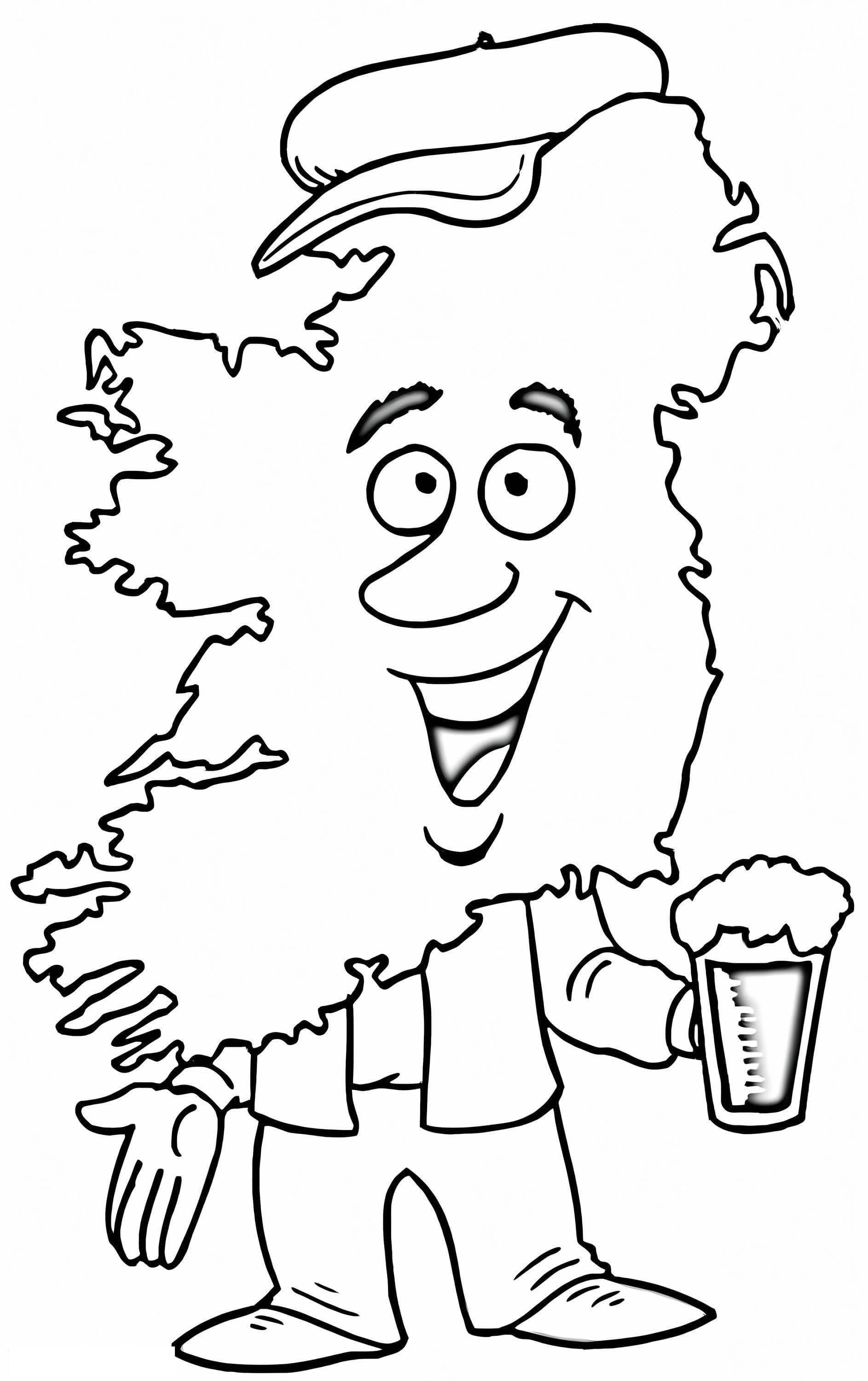
Explore the Emerald Isle with this Map of Ireland Coloring Page
Embark on a creative journey to one of the world's most beautiful islands with our Map of Ireland coloring page. This printable sheet features a clear and accurate outline of the Irish coastline, making it an excellent resource for geography students, teachers, or anyone celebrating Irish heritage. Whether you are learning about the counties for school or looking for a fun St. Patrick's Day activity, this illustration provides the perfect canvas.
Creative Ideas for Your Irish Map
- Educational Use: Use different colors to identify the four provinces (Connacht, Leinster, Munster, and Ulster) or to distinguish between Northern Ireland and the Republic of Ireland.
- Shades of Green: Ireland isn't called the Emerald Isle for nothing! Encourage kids to use various shades of green crayons, markers, or watercolors to fill in the terrain to represent the lush landscape.
- Add Landmarks: Advanced colorists can draw in famous landmarks like the Cliffs of Moher or the Blarney Stone to add detail to the map.
This high-quality, free printable PDF is designed to print clearly on standard A4 paper, ensuring lines are crisp for coloring enthusiasts of all ages, from preschoolers to adults.